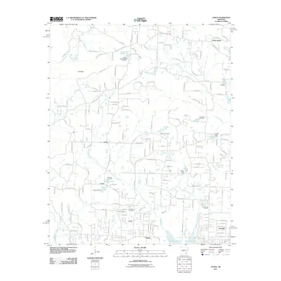
2011 Map of Congo
USGS Topo · Published 2011About this map
Hurricane Creek and its many tributaries, including Little Hurricane Creek and Fourche Creek, carve through this Saline County landscape, where water management is a central feature of the terrain. The area is defined by numerous small impoundments and dams, such as Helmich Lake Dam, Glover Lake Dam, and the 4-H Camp Lake Dam. These reservoirs sit alongside established rural communities like Congo, Avilla, and Holly Springs, reflecting a pattern of residential growth integrated with the natural hydrology of the region north of Salem.
Find a feature on this map
187 named features on this map. Tap any name to fly to it.
Don’t see what you’re looking for? This feature index may not catch every label — zoom into the map to look around manually.
Map Details
Editions of this 2011 Congo Map
This is the sole edition of this map. No revisions or reprints were ever made.
Other maps of this area

1890 · Benton
USGS Topo · 1:125,000

1891 · Little Rock
USGS Topo · 1:125,000

1893 · Little Rock
USGS Topo · 1:125,000

1894 · Benton
USGS Topo · 1:125,000

1935 · Alexander
USGS Topo · 1:48,000

1938 · Benton
USGS Topo · 1:48,000

1941 · Alexander
USGS Topo · 1:62,500

1943 · Pinnacle Mtn
USGS Topo · 1:31,680

1944 · Benton
USGS Topo · 1:62,500

1944 · Alexander
USGS Topo · 1:31,680