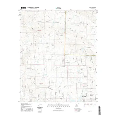
2017 Map of Congo
USGS Topo · Published 2017About this map
Benton and Bryant anchor the southeastern corner of this Saline County landscape, where the foothills of Big Ridge meet the evolving suburbs of Central Arkansas. This 2017 survey details a region defined by its numerous small lakes and tributary networks, including the prominent Hurricane Lake and Maertens Lake near the community of Congo. The map records a complex overlay of rural heritage and modern development, tracing the border between Saline and Pulaski counties.
Find a feature on this map
197 named features on this map. Tap any name to fly to it.
Don’t see what you’re looking for? This feature index may not catch every label — zoom into the map to look around manually.
Map Details
Editions of this 2017 Congo Map
This is the sole edition of this map. No revisions or reprints were ever made.
Other maps of this area

1890 · Benton
USGS Topo · 1:125,000

1891 · Little Rock
USGS Topo · 1:125,000

1893 · Little Rock
USGS Topo · 1:125,000

1894 · Benton
USGS Topo · 1:125,000

1935 · Alexander
USGS Topo · 1:48,000

1938 · Benton
USGS Topo · 1:48,000

1941 · Alexander
USGS Topo · 1:62,500

1943 · Pinnacle Mtn
USGS Topo · 1:31,680

1944 · Benton
USGS Topo · 1:62,500

1944 · Alexander
USGS Topo · 1:31,680