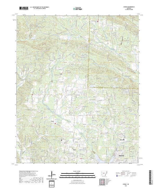
2024 Map of Congo
USGS Topo · Published 2024About this map
The rolling corridor between Benton and Bryant in Saline County is defined by a dense network of suburban development and agricultural land. Significant water features such as Hurricane Lake and the winding Hurricane Creek shape the local geography, providing a natural backdrop to established residential areas. For family historians, the presence of Pipkin Cem, Cameron Cem, and Rose Garden Cem offers critical points of reference within this evolving landscape.
Find a feature on this map
46 named features on this map. Tap any name to fly to it.
Don’t see what you’re looking for? This feature index may not catch every label — zoom into the map to look around manually.
Map Details
Editions of this 2024 Congo Map
This is the sole edition of this map. No revisions or reprints were ever made.
Other maps of this area

1890 · Benton
USGS Topo · 1:125,000

1891 · Little Rock
USGS Topo · 1:125,000

1893 · Little Rock
USGS Topo · 1:125,000

1894 · Benton
USGS Topo · 1:125,000

1935 · Alexander
USGS Topo · 1:48,000

1938 · Benton
USGS Topo · 1:48,000

1941 · Alexander
USGS Topo · 1:62,500

1943 · Pinnacle Mtn
USGS Topo · 1:31,680

1944 · Benton
USGS Topo · 1:62,500

1944 · Alexander
USGS Topo · 1:31,680