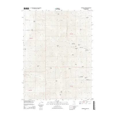
2015 Map of Congress Canyon
USGS Topo · Published 2015About this map
The Humboldt Range dominates this Pershing County landscape, carved by a network of steep canyons and high-altitude flats. Evidence of the region’s mining heritage is anchored by the Boston Tunnel near the confluence of South Fork Straight Canyon and Congress Canyon. Water management and transport routes are central to the area's utility, with historical paths like the Unionville Rd and Beaumont Trl navigating the complex terrain between Buffalo Canyon and Coyote Canyon. The presence of Kucera Xing and various drainage systems such as Coyote Cr and O'Neil Canyon Cr indicates a landscape where access points were carefully established to traverse the basin and range geography during this modern era of mapping.
Find a feature on this map
39 named features on this map. Tap any name to fly to it.
Don’t see what you’re looking for? This feature index may not catch every label — zoom into the map to look around manually.
Map Details
Editions of this 2015 Congress Canyon Map
This is the sole edition of this map. No revisions or reprints were ever made.
Other maps of this area

1931 · Lovelock
USGS Topo · 1:250,000

1935 · Lovelock
USGS Topo · 1:250,000

1954 · Unionville
USGS Topo · 1:62,500

1955 · Lovelock
USGS Topo · 1:250,000

1956 · Oreana
USGS Topo · 1:62,500

1956 · Imlay
USGS Topo · 1:62,500

1959 · Lovelock
USGS Topo · 1:250,000

1971 · Rye Patch Reservoir South
USGS Topo · 1:24,000

1984 · Lovelock
USGS Topo · 1:100,000
1985 · Eugene Mts
USGS Topo · 1:100,000