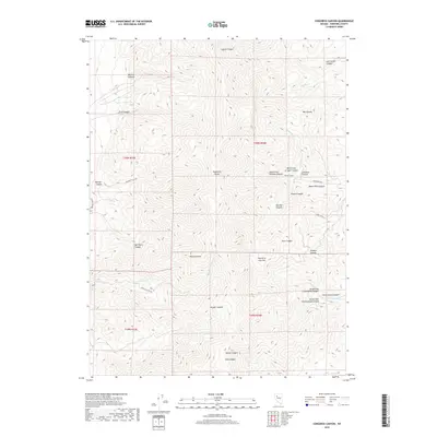
2018 Map of Congress Canyon
USGS Topo · Published 2018About this map
Humboldt Range dominates this portion of Pershing County, where the steep topography of the Great Basin is marked by a dense network of drainages and historical mining access. The industrial legacy of the region is centered near Boston Tunnel, situated between the North Fork Straight Canyon and South Fork Straight Canyon. This area shows a landscape defined by its verticality, with named features like Peru Canyon and Jackson Canyon carving into the mountain flanks. Access to these high-elevation sites is provided by rugged routes such as Unionville Rd and Beamont Trail Rd, which connect the interior basins to the valley floor. The map also captures several distinct flatlands and water sources, including Fourth of July Flat and the headwaters of Cottonwood Cr, illustrating the vital water resources that supported exploration and settlement in this arid environment.
Find a feature on this map
39 named features on this map. Tap any name to fly to it.
Don’t see what you’re looking for? This feature index may not catch every label — zoom into the map to look around manually.
Map Details
Editions of this 2018 Congress Canyon Map
This is the sole edition of this map. No revisions or reprints were ever made.
Other maps of this area

1931 · Lovelock
USGS Topo · 1:250,000

1935 · Lovelock
USGS Topo · 1:250,000

1954 · Unionville
USGS Topo · 1:62,500

1955 · Lovelock
USGS Topo · 1:250,000

1956 · Oreana
USGS Topo · 1:62,500

1956 · Imlay
USGS Topo · 1:62,500

1959 · Lovelock
USGS Topo · 1:250,000

1971 · Rye Patch Reservoir South
USGS Topo · 1:24,000

1984 · Lovelock
USGS Topo · 1:100,000
1985 · Eugene Mts
USGS Topo · 1:100,000