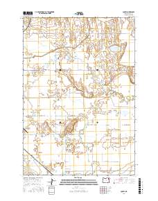
2017 Map of Conley
USGS Topo · Published 2017About this map
The Grande Ronde Valley defines this landscape in Union County, where an intricate network of natural waterways and engineered irrigation supports the agricultural character of the region. The map shows the Grande Ronde River winding through the northern sections, supplemented by Catherine Creek and Ladd Creek to the south. Human management of this hydrologic system is evident in features like State Ditch, McAlister Ditch, and several sloughs including Wright Slough and Gekeler Slough.
Find a feature on this map
39 named features on this map. Tap any name to fly to it.
Don’t see what you’re looking for? This feature index may not catch every label — zoom into the map to look around manually.
Map Details
Editions of this 2017 Conley Map
This is the sole edition of this map. No revisions or reprints were ever made.
Other maps of this area

1906 · Telocaset
USGS Topo · 1:125,000

1953 · Pendleton
USGS Topo · 1:250,000

1955 · Grangeville
USGS Topo · 1:250,000

1956 · Pendleton
USGS Topo · 1:250,000

1959 · Grangeville
USGS Topo · 1:250,000

1963 · La Grande SE
USGS Topo · 1:24,000

1963 · Summerville
USGS Topo · 1:24,000

1965 · Conley
USGS Topo · 1:24,000
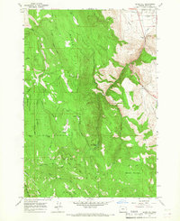
1965 · Glass Hill
USGS Topo · 1:24,000

1965 · Union
USGS Topo · 1:24,000