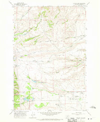
1967 Map of Conleys Lake
USGS Topo · Published 1970About this map
Hillcrest Cemetery and the Deer Lodge City and County Airport overlook the valley floor where the C M St P & P railroad corridor runs along the eastern edge of this 1967 survey. The landscape is a study in water management and institutional land use, featuring the State Prison Ranch No 1 and the Filtration Plant near the banks of Tin Cup Joe Creek. High-country water resources like Conleys Lake, Upper Taylor Reservoir, and Lower Taylor Reservoir dominate the central terrain, feeding down through numerous drainages such as Mullan Gulch and Taylor Creek. The presence of the Deer Lodge Country Club and Deer Park near the town's edge contrasts with the working landscape of the Williams and Tavenner Ranch and several Gravel Pits found throughout the foothills.
Find a feature on this map
38 named features on this map. Tap any name to fly to it.
Don’t see what you’re looking for? This feature index may not catch every label — zoom into the map to look around manually.
Map Details
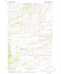
Editions of this 1967 Conleys Lake Map
2 editions found
Other maps of this area

1889 · Helena
USGS Topo · 1:250,000

1893 · Helena
USGS Topo · 1:250,000

1899 · Helena
USGS Topo · 1:250,000

1903 · Helena
USGS Topo · 1:250,000

1947 · Butte
USGS Topo · 1:250,000

1958 · Butte
USGS Topo · 1:250,000

1958 · Avon
USGS Topo · 1:62,500

1958 · Garrison
USGS Topo · 1:62,500

1959 · Deer Lodge
USGS Topo · 1:62,500

1960 · Butte
USGS Topo · 1:250,000