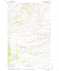
1967 Map of Conleys Lake
USGS Topo · Published 1980About this map
The Powell County landscape near the northern end of the Deer Lodge Valley is defined by a sophisticated system of high-country water management and ranching operations during the late 1960s. Historical irrigation routes like China Ditch, Rock Creek Ditch, and Pauly Ditch underscore the region's reliance on diverting water from creeks to sustain remote operations like Spring Ranch and Williams and Tavenner Ranch. South of these draws, the terrain descends toward Conleys Lake and Kerns Lake, where the community infrastructure of Deer Lodge becomes more apparent. Features such as the Deer Lodge City and County Airport, the Hillcrest Cemetery, and the Filtration Plant near Tin Cup Lake show the intersection of natural resources and municipal development. The presence of the Mullan road and various jeep trails alongside a major Pipeline indicates the mid-century expansion of utility and transportation corridors through the gulches.
Find a feature on this map
39 named features on this map. Tap any name to fly to it.
Don’t see what you’re looking for? This feature index may not catch every label — zoom into the map to look around manually.
Map Details
Editions of this 1967 Conleys Lake Map
2 editions found
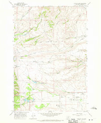
Other maps of this area

1889 · Helena
USGS Topo · 1:250,000

1893 · Helena
USGS Topo · 1:250,000

1899 · Helena
USGS Topo · 1:250,000

1903 · Helena
USGS Topo · 1:250,000

1947 · Butte
USGS Topo · 1:250,000

1958 · Butte
USGS Topo · 1:250,000

1958 · Avon
USGS Topo · 1:62,500

1958 · Garrison
USGS Topo · 1:62,500

1959 · Deer Lodge
USGS Topo · 1:62,500

1960 · Butte
USGS Topo · 1:250,000