Loading...
Loading map...2023 Map of Conneaut Lake
USGS Topo · Published 2023About this map
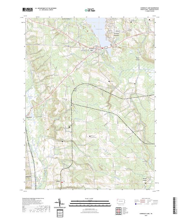
Conneaut Lake and its surrounding glacial terrain define this Crawford County landscape, where the Conneaut Lake Kame stands as a prominent geological feature. The map traces the remnants of the Erie Extension Canal as it passes near Hartstown and through the Pymatuning Swamp, offering a glimpse into the region's nineteenth-century transportation network. Rural life is anchored by small settlements such as Lynces Junction, Stony Point, and Atlantic.
Find a feature on this map
88 named features on this map. Tap any name to fly to it.
Don’t see what you’re looking for? This feature index may not catch every label — zoom into the map to look around manually.
Map Details
Date Portrayed2023
Date Published2023
PublisherU.S. Geological Survey
Map TypeTopographic
Scale1:24000
Physical Dimensions24 x 29 inches
Editions of this 2023 Conneaut Lake Map
This is the sole edition of this map. No revisions or reprints were ever made.
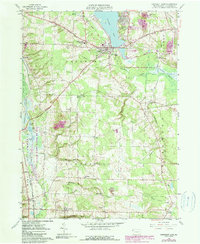
Historical Maps of Porters Corners Through Time
Featured Locations
- Conneaut Lake, PA
- Sadsbury Township, PA
- Greenwood Township, PA
- Vernon Township, PA
- West Fallowfield Township, PA
Source Details
SourceU.S. Geological Survey
CopyrightPublic Domain