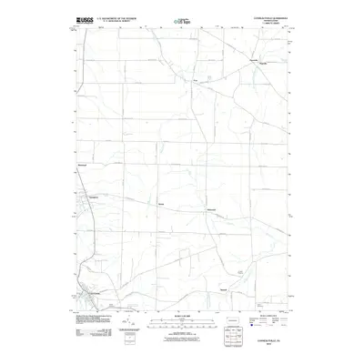
2010 Map of Conneautville
USGS Topo · Published 2010About this map
Conneautville anchors the southwest corner of this Crawford County survey, where Conneaut Creek and Meyler Run meet. The landscape is defined by a dense network of country roads connecting small, established settlements such as Springboro, Hickernell, and Shadeland. This 2010 topographic representation reveals a rural Pennsylvania community where local history is preserved in sites like Cribbs Cemetery and Rundell Cemetery. The drainage patterns of Carr Run and Temple Creek dictate the local geography, while the proximity of places like Pageville and Paperville suggests the area's long-standing development. This survey serves as a precise guide to the roads and watercourses that have shaped northwestern Pennsylvania for generations.
Find a feature on this map
46 named features on this map. Tap any name to fly to it.
Don’t see what you’re looking for? This feature index may not catch every label — zoom into the map to look around manually.
Map Details
Editions of this 2010 Conneautville Map
This is the sole edition of this map. No revisions or reprints were ever made.
Other maps of this area

1900 · Girard
USGS Topo · 1:62,500

1906 · Linesville
USGS Topo · 1:62,500

1908 · Linesville
USGS Topo · 1:62,500

1923 · Meadville
USGS Topo · 1:62,500

1923 · Cambridge Springs
USGS Topo · 1:62,500

1925 · Meadville
USGS Topo · 1:62,500

1925 · Cambridge Springs
USGS Topo · 1:62,500

1943 · Meadville
USGS Topo · 1:62,500

1943 · Cambridge Springs
USGS Topo · 1:62,500

1950 · Cleveland
USGS Topo · 1:250,000