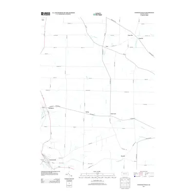
2013 Map of Conneautville
USGS Topo · Published 2013About this map
Conneautville serves as the primary settlement hub at the southern edge of this West Crawford County landscape. The area is defined by a dense network of country roads connecting small rural communities such as Pageville, Paperville, and Hickernell. The hydrology is particularly prominent, with the Conneaut Cr and Meyler Run flowing near the main borough, while the W Br Cussewago Cr and Temple Cr drain the northern reaches. This 2013 survey illustrates the enduring agricultural and residential patterns of the region, including the G & N Airport near the northwestern boundary. The map captures the specific local geometry of roads like Nickel Plate Rd and Crossingville Rd, which follow the subtle rises and falls between the numerous runs and creeks that crisscross the township.
Find a feature on this map
60 named features on this map. Tap any name to fly to it.
Don’t see what you’re looking for? This feature index may not catch every label — zoom into the map to look around manually.
Map Details
Editions of this 2013 Conneautville Map
This is the sole edition of this map. No revisions or reprints were ever made.
Other maps of this area

1900 · Girard
USGS Topo · 1:62,500

1906 · Linesville
USGS Topo · 1:62,500

1908 · Linesville
USGS Topo · 1:62,500

1923 · Meadville
USGS Topo · 1:62,500

1923 · Cambridge Springs
USGS Topo · 1:62,500

1925 · Meadville
USGS Topo · 1:62,500

1925 · Cambridge Springs
USGS Topo · 1:62,500

1943 · Meadville
USGS Topo · 1:62,500

1943 · Cambridge Springs
USGS Topo · 1:62,500

1950 · Cleveland
USGS Topo · 1:250,000