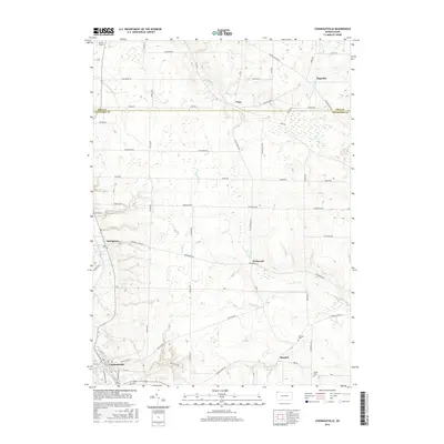
2016 Map of Conneautville
USGS Topo · Published 2016About this map
Conneaut Creek winds through the southwestern corner of this landscape, anchoring the borough of Conneautville. This region along the Erie Co and Crawford Co line is characterized by a network of small agricultural settlements and rural intersections connected by an extensive grid of local roads. Moving north from Conneautville, the landscape transitions through the communities of Springboro and Hickernell, where the terrain is drained by tributaries like Carr Run and Temple Cr. The eastern portion of the survey is defined by the headwaters of the W Br Cussewago Cr near Pageville. Local history and genealogy interest is concentrated in the scattered burial grounds, including Spring Cem and Rundell Cem, while the G & N Airport provides a distinct modern landmark in the northwest corner near Lundys Ln.
Find a feature on this map
57 named features on this map. Tap any name to fly to it.
Don’t see what you’re looking for? This feature index may not catch every label — zoom into the map to look around manually.
Map Details
Editions of this 2016 Conneautville Map
This is the sole edition of this map. No revisions or reprints were ever made.
Other maps of this area

1900 · Girard
USGS Topo · 1:62,500

1906 · Linesville
USGS Topo · 1:62,500

1908 · Linesville
USGS Topo · 1:62,500

1923 · Meadville
USGS Topo · 1:62,500

1923 · Cambridge Springs
USGS Topo · 1:62,500

1925 · Meadville
USGS Topo · 1:62,500

1925 · Cambridge Springs
USGS Topo · 1:62,500

1943 · Meadville
USGS Topo · 1:62,500

1943 · Cambridge Springs
USGS Topo · 1:62,500

1950 · Cleveland
USGS Topo · 1:250,000