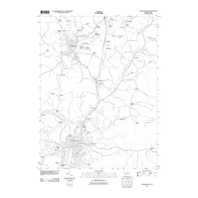
2010 Map of Connellsville
USGS Topo · Published 2010About this map
The Youghiogheny River winds through the heart of the landscape, anchoring the city of Connellsville and its surrounding residential clusters. This 2010 survey reflects a densely populated corridor where historical industrial footprints meet modern infrastructure. In the northern reaches, the borough of Scottdale sits near the border of West Overton, while smaller settlements like Everson, Moyer, and Broad Ford are distributed along the valley floor. The map is particularly notable for its high concentration of religious and memorial sites, including Saint Josephs Cemetery, Saint Ritas Cemetery, and Saint Johns Cemetery, providing significant data for genealogical research. Aviation and community infrastructure are well-represented by the Mount Pleasant-Scottdale Airport and the Bullskin Fairgrounds, while terrain features such as Ore Mine Hill and Trump Hollow hint at the region's resource-rich past.
Find a feature on this map
128 named features on this map. Tap any name to fly to it.
Don’t see what you’re looking for? This feature index may not catch every label — zoom into the map to look around manually.
Map Details
Editions of this 2010 Connellsville Map
This is the sole edition of this map. No revisions or reprints were ever made.
Other maps of this area

1900 · Uniontown
USGS Topo · 1:62,500

1902 · Connellsville
USGS Topo · 1:62,500

1922 · Confluence
USGS Topo · 1:62,500

1922 · Donegal
USGS Topo · 1:62,500

1931 · Connellsville
USGS Topo · 1:62,500

1931 · Uniontown
USGS Topo · 1:62,500

1931 · Confluence
USGS Topo · 1:62,500

1933 · Confluence
USGS Topo · 1:62,500

1935 · Donegal
USGS Topo · 1:62,500

1936 · Connellsville
USGS Topo · 1:62,500