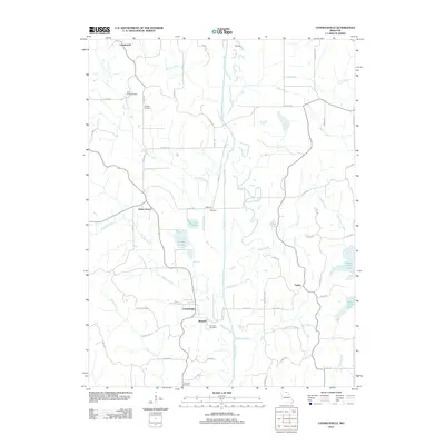
2012 Map of Connelsville
USGS Topo · Published 2012About this map
The Chariton River meanders south through this Missouri landscape, anchoring a rural corridor defined by small settlements and family burial grounds. Local history is centered around Connelsville and nearby Nineveh, where the road network transitions into rugged rural routes like Bethel Ridge Rd and Miners Rd. Several reservoirs, including Lake Elsea and Scobee Lake, dot the central terrain, while Hazel Creek Lake dominates the southeastern quadrant.
Find a feature on this map
65 named features on this map. Tap any name to fly to it.
Don’t see what you’re looking for? This feature index may not catch every label — zoom into the map to look around manually.
Map Details
Editions of this 2012 Connelsville Map
This is the sole edition of this map. No revisions or reprints were ever made.
Other maps of this area

1911 · Queen City
USGS Topo · 1:62,500

1912 · Green City
USGS Topo · 1:62,500

1913 · Queen City
USGS Topo · 1:62,500

1914 · Green City
USGS Topo · 1:62,500

1938 · Kirksville
USGS Topo · 1:62,500

1940 · Kirksville
USGS Topo · 1:62,500

1954 · Centerville
USGS Topo · 1:250,000

1957 · Centerville
USGS Topo · 1:250,000

1958 · Centerville
USGS Topo · 1:250,000

1963 · Pure Air
USGS Topo · 1:24,000