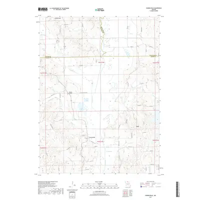
2017 Map of Connelsville
USGS Topo · Published 2017About this map
The Chariton River carves a meandering path through this landscape where the borders of Adair, Putnam, and Schuyler counties converge. Small agricultural settlements and family burial grounds dot the terrain, including Nineveh Cem near Connelsville and the Cain Ford Cem to the north. The drainage patterns of Shuteye Cr, Blackbird Cr, and Mulberry Cr define the local topography, feeding into a series of managed and natural water bodies such as Lake Elsea and Filkins Lake. Rural life is centered around a network of gravel and state roads like State Hwy Q and State Hwy B, connecting isolated hamlets such as Lowground and Fegley. This area maintains a quiet, rural character defined by traditional township sections and scattered farmsteads typical of the Missouri-Iowa border region.
Find a feature on this map
74 named features on this map. Tap any name to fly to it.
Don’t see what you’re looking for? This feature index may not catch every label — zoom into the map to look around manually.
Map Details
Editions of this 2017 Connelsville Map
This is the sole edition of this map. No revisions or reprints were ever made.
Other maps of this area

1911 · Queen City
USGS Topo · 1:62,500

1912 · Green City
USGS Topo · 1:62,500

1913 · Queen City
USGS Topo · 1:62,500

1914 · Green City
USGS Topo · 1:62,500

1938 · Kirksville
USGS Topo · 1:62,500

1940 · Kirksville
USGS Topo · 1:62,500

1954 · Centerville
USGS Topo · 1:250,000

1957 · Centerville
USGS Topo · 1:250,000

1958 · Centerville
USGS Topo · 1:250,000

1963 · Pure Air
USGS Topo · 1:24,000