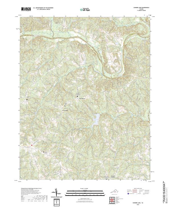
2022 Map of Conner Lake
USGS Topo · Published 2022About this map
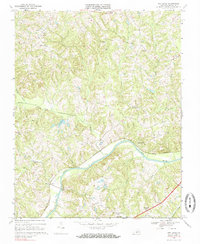
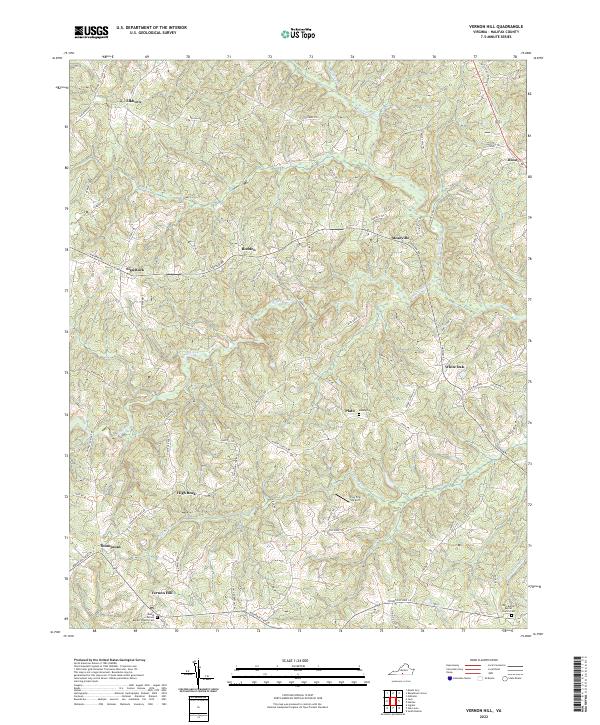
The Roanoke River winds across the northern border of this landscape, carving the boundary between Charlotte Co and Halifax Co. This rural section of Southern Virginia is defined by a dense network of local roads and trails, such as Mortons Ferry Rd and Coles Ferry Rd, which speak to a historical reliance on river crossings. The central topography is dominated by Conner Lake, surrounded by small settlements like Providence, Crossroads, and Mount Laurel.
Find a feature on this map
58 named features on this map. Tap any name to fly to it.
Don’t see what you’re looking for? This feature index may not catch every label — zoom into the map to look around manually.
Map Details
Editions of this 2022 Conner Lake Map
This is the sole edition of this map. No revisions or reprints were ever made.
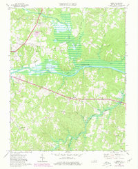
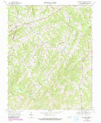
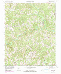
Historical Maps of Mount Laurel Through Time
15 maps found

1954 Riceville
Halifax County, VA
1968 Alton
Halifax County, VA
1968 Buffalo Springs
Halifax County, VA
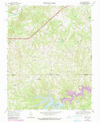
1968 Conner Lake
Halifax County, VA
1968 Oak Level
Halifax County, VA
1968 Omega
Halifax County, VA
1968 Republican Grove
Halifax County, VA
1968 Vernon Hill
Halifax County, VA

2022 Alton
Halifax County, VA
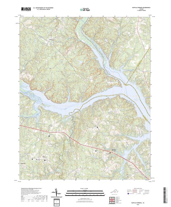
2022 Buffalo Springs
Halifax County, VA
2022 Conner Lake
Halifax County, VA
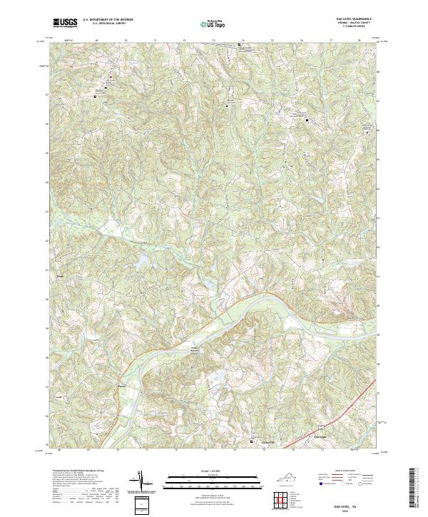
2022 Oak Level
Halifax County, VA
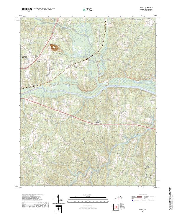
2022 Omega
Halifax County, VA
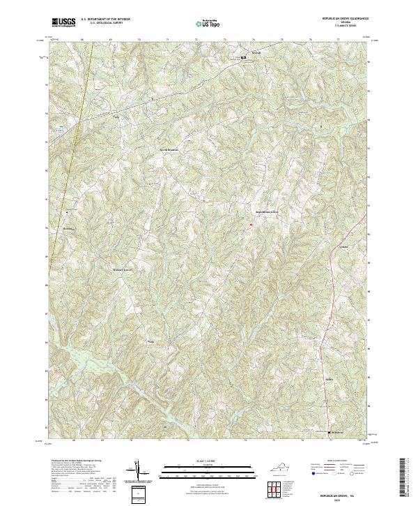
2022 Republican Grove
Halifax County, VA
2022 Vernon Hill
Halifax County, VA