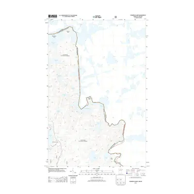
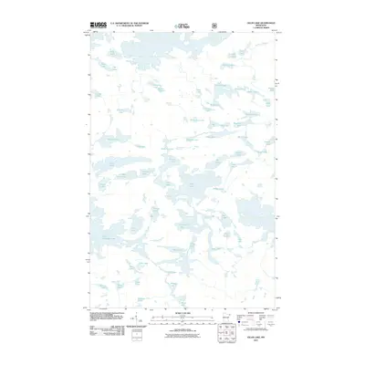
2013 Map of Conners Island
USGS Topo · Published 2013About this map
The international boundary defines the rugged aquatic landscape of this northern Cook County survey, tracing a jagged line through interconnected waterways within the Superior National Forest. This border region is characterized by a complex network of islands and rapids, where Conners Island and Oskenonton Island sit amidst the expansive waters of Saganaga Lake. The movement of water is a central theme, marked by features such as Saganaga Falls and Horsetail Rapids along the boundary waters. Access into this wilderness area is centered around Blackenburg Landing and Sea Gull Lake Rd at the southwestern edge of the map. Away from the primary lakes, smaller bodies of water like Maraboeuf Lake, Gneiss Lake, and Tepee Lake are tucked into the undulating terrain, connected by minor streams like Sea Gull Cr and Larch Cr.
Find a feature on this map
26 named features on this map. Tap any name to fly to it.
Don’t see what you’re looking for? This feature index may not catch every label — zoom into the map to look around manually.
Map Details
Editions of this 2013 Conners Island Map
This is the sole edition of this map. No revisions or reprints were ever made.
Other maps of this area

1957 · Quetico
USGS Topo · 1:250,000

1959 · Munker Island
USGS Topo · 1:24,000

1959 · Conners Island
USGS Topo · 1:24,000

1959 · Gillis Lake
USGS Topo · 1:24,000
1960 · Gunflint Lake
USGS Topo · 1:24,000
1960 · Long Island Lake
USGS Topo · 1:24,000

1968 · Quetico
USGS Topo · 1:250,000

1976 · Saganaga Lake
USGS Topo · 1:100,000
2011 · Gunflint Lake
USGS Topo · 1:24,000
2011 · Gillis Lake
USGS Topo · 1:24,000