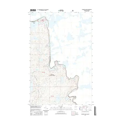
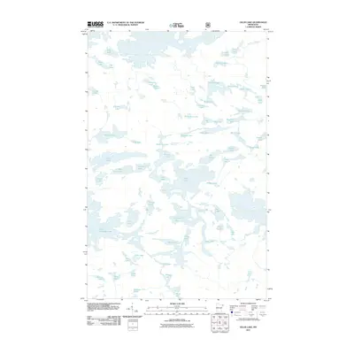
2016 Map of Conners Island
USGS Topo · Published 2016About this map
The international boundary between United States of America and Canada follows a winding water route through this remote section of the Superior National Forest. Within the sprawling waters of Saganaga Lake, Conners Island and Oskenonton Island sit just west of Red Sucker Bay, marking a complex landscape of interconnected waterways and islands. This topography is defined by the flow of the Granite River, which moves through narrow passages like Devils Elbow and over Saganaga Falls and Horsetail Rapids.
Find a feature on this map
36 named features on this map. Tap any name to fly to it.
Don’t see what you’re looking for? This feature index may not catch every label — zoom into the map to look around manually.
Map Details
Editions of this 2016 Conners Island Map
This is the sole edition of this map. No revisions or reprints were ever made.
Other maps of this area

1957 · Quetico
USGS Topo · 1:250,000

1959 · Munker Island
USGS Topo · 1:24,000

1959 · Conners Island
USGS Topo · 1:24,000

1959 · Gillis Lake
USGS Topo · 1:24,000
1960 · Gunflint Lake
USGS Topo · 1:24,000
1960 · Long Island Lake
USGS Topo · 1:24,000

1968 · Quetico
USGS Topo · 1:250,000

1976 · Saganaga Lake
USGS Topo · 1:100,000
2011 · Gunflint Lake
USGS Topo · 1:24,000
2011 · Gillis Lake
USGS Topo · 1:24,000