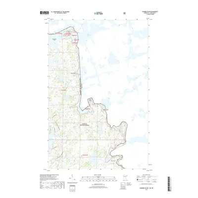
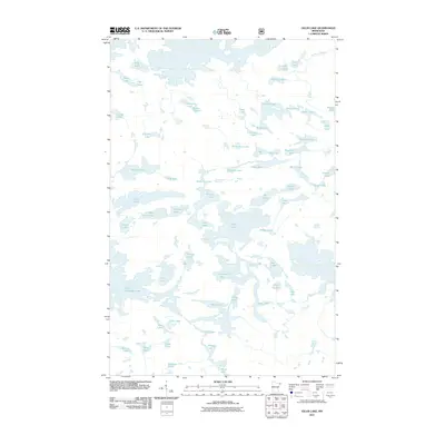
2019 Map of Conners Island
USGS Topo · Published 2019About this map
The Superior National Forest dominates this northern wilderness, where the international boundary between the United States and Canada follows a complex aquatic path through the Granite River and Gneiss Lake. The landscape is defined by the massive Saganaga Lake to the north and Sea Gull Lake to the south, connected by a network of smaller water bodies such as Prayer Lake, Ambush Lake, and Tepee Lake. This 2019 survey illustrates the intricate shoreline of islands like Conners Island and Oskenonton Island, providing a detailed look at the hydrology of the Boundary Waters region. Transportation is limited to a few established routes, including the iconic Gunflint Trail and the Gunflint Trails Snowmobile path, which emphasize the area's role as a modern gateway to remote recreation and natural resource management.
Find a feature on this map
35 named features on this map. Tap any name to fly to it.
Don’t see what you’re looking for? This feature index may not catch every label — zoom into the map to look around manually.
Map Details
Editions of this 2019 Conners Island Map
This is the sole edition of this map. No revisions or reprints were ever made.
Other maps of this area

1957 · Quetico
USGS Topo · 1:250,000

1959 · Munker Island
USGS Topo · 1:24,000

1959 · Conners Island
USGS Topo · 1:24,000

1959 · Gillis Lake
USGS Topo · 1:24,000
1960 · Gunflint Lake
USGS Topo · 1:24,000
1960 · Long Island Lake
USGS Topo · 1:24,000

1968 · Quetico
USGS Topo · 1:250,000

1976 · Saganaga Lake
USGS Topo · 1:100,000
2011 · Gunflint Lake
USGS Topo · 1:24,000
2011 · Gillis Lake
USGS Topo · 1:24,000