
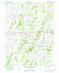
1956 Map of Connersville
USGS Topo · Published 1957About this map
Connersville serves as the industrial and transit hub of this mid-1950s Indiana landscape, where the Whitewater River and multiple rail lines converge. The town's infrastructure is dense with local history, featuring numerous neighborhood institutions like Shipley Sch, Grandview Sch, and the centrally located City Cemetery. Beyond the city limits, the landscape transitions into a network of farming communities and rural townships.
Find a feature on this map
53 named features on this map. Tap any name to fly to it.
Don’t see what you’re looking for? This feature index may not catch every label — zoom into the map to look around manually.
Map Details
Editions of this 1956 Connersville Map
This is the sole edition of this map. No revisions or reprints were ever made.
Other maps of this area

1948 · Lewisville
USGS Topo · 1:24,000

1950 · Lewisville
USGS Topo · 1:24,000

1953 · Cincinnati
USGS Topo · 1:250,000

1956 · Everton
USGS Topo · 1:24,000

1956 · Alpine
USGS Topo · 1:24,000

1956 · Brownsville
USGS Topo · 1:24,000

1957 · Cincinnati
USGS Topo · 1:250,000

1959 · New Salem
USGS Topo · 1:24,000

1959 · Falmouth
USGS Topo · 1:24,000
1960 · Jacksonburg
USGS Topo · 1:24,000