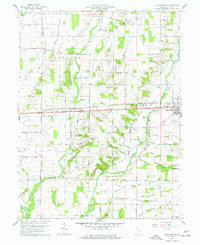
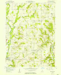
1960 Map of Jacksonburg
USGS Topo · Published 1961About this map
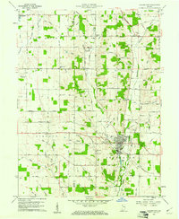
Greens Fork and Nolands Fork shape this portion of Wayne County, where the historic National Road and the Pennsylvania railroad corridor serve as the primary east-west arteries. The landscape is dotted with several small crossroads and agricultural communities such as Jacksonburg, Pinhook, and the larger settlement of Centerville. Genealogists and local historians can trace numerous rural family-named landmarks and institutions, including the Doddridge Chapel and several denominational burial grounds like the United Brethren Cem and West Grove Cem.
Find a feature on this map
70 named features on this map. Tap any name to fly to it.
Don’t see what you’re looking for? This feature index may not catch every label — zoom into the map to look around manually.
Map Details
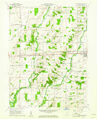
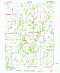
Editions of this 1960 Jacksonburg Map
Other maps of this area

1915 · New Paris
USGS Topo · 1:48,000
1915 · College Corner
USGS Topo · 1:48,000
1918 · College Corner
USGS Topo · 1:62,500

1918 · New Paris
USGS Topo · 1:62,500

1953 · Cincinnati
USGS Topo · 1:250,000
1956 · Brownsville
USGS Topo · 1:24,000
1956 · Connersville
USGS Topo · 1:24,000

1957 · Cincinnati
USGS Topo · 1:250,000
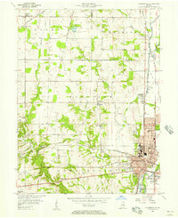
1960 · Liberty
USGS Topo · 1:24,000
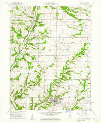
1960 · Hagerstown
USGS Topo · 1:24,000