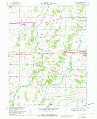
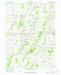
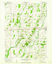
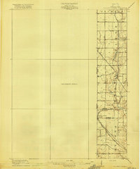
1960 Map of Jacksonburg
USGS Topo · Published 1982About this map
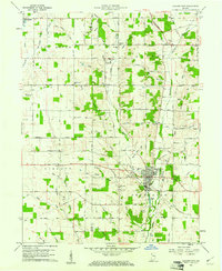
Jacksonburg and Centerville anchor this study of Wayne County, Indiana, as it appeared in the early 1960s with updates from 1980. The landscape is defined by the intricate drainage systems of Nolands Fork and Greens Fork, where numerous smaller streams like Black Run and Snow Ice Brook weave through a network of rural townships including Harrison and Jackson. This era shows a transition in local transportation, featuring the historic National Road and the Conrail line alongside newer infrastructure like the interstate rest areas.
Find a feature on this map
67 named features on this map. Tap any name to fly to it.
Don’t see what you’re looking for? This feature index may not catch every label — zoom into the map to look around manually.
Map Details
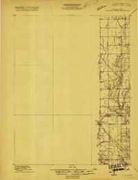
Editions of this 1960 Jacksonburg Map
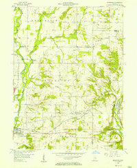
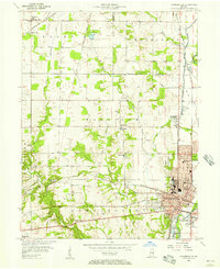
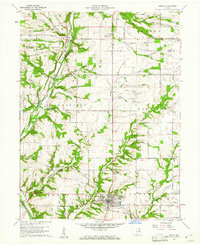
Other maps of this area

1915 · New Paris
USGS Topo · 1:48,000
1915 · College Corner
USGS Topo · 1:48,000
1918 · College Corner
USGS Topo · 1:62,500

1918 · New Paris
USGS Topo · 1:62,500

1953 · Cincinnati
USGS Topo · 1:250,000
1956 · Brownsville
USGS Topo · 1:24,000
1956 · Connersville
USGS Topo · 1:24,000

1957 · Cincinnati
USGS Topo · 1:250,000
1960 · Liberty
USGS Topo · 1:24,000
1960 · Hagerstown
USGS Topo · 1:24,000