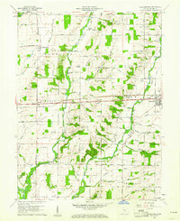
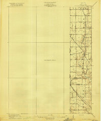
1960 Map of Jacksonburg
USGS Topo · Published 1977About this map
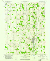
The Pennsylvania railroad line and the National Road cut a straight east-west path through this central Wayne County landscape, anchoring the development of small rural communities like Centerville and Pennville. This 1960 field-checked survey reveals an intricate drainage network feeding the Whitewater River, with creeks such as Nolands Fork and Greens Fork defining the undulating terrain. The area is marked by a strong presence of 19th-century religious and educational institutions, including the United Brethren Ch, Bryant Ch, and the College Corner School.
Find a feature on this map
68 named features on this map. Tap any name to fly to it.
Don’t see what you’re looking for? This feature index may not catch every label — zoom into the map to look around manually.
Map Details
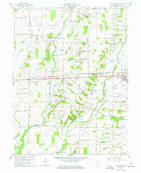
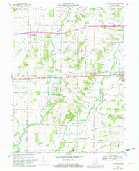
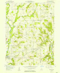
Editions of this 1960 Jacksonburg Map
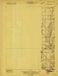
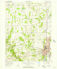
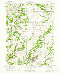
Other maps of this area

1915 · New Paris
USGS Topo · 1:48,000
1915 · College Corner
USGS Topo · 1:48,000
1918 · College Corner
USGS Topo · 1:62,500

1918 · New Paris
USGS Topo · 1:62,500

1953 · Cincinnati
USGS Topo · 1:250,000
1956 · Brownsville
USGS Topo · 1:24,000
1956 · Connersville
USGS Topo · 1:24,000

1957 · Cincinnati
USGS Topo · 1:250,000
1960 · Liberty
USGS Topo · 1:24,000
1960 · Hagerstown
USGS Topo · 1:24,000