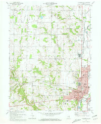
1972 Map of Connersville
USGS Topo · Published 1973About this map
Connersville and its surrounding Fayette County landscape are defined by the convergence of the Whitewater River and several significant rail lines during the early 1970s. The city core shows dense development around the Courthouse and City Hall, while its industrial and civic infrastructure includes Mettel Field, the Fairgrounds, and multiple radio towers such as Radio Tower (WEMB). Outside the city, the land transitions into a network of rural townships—Posey, Washington, and Harrison—where smaller settlements like Bentonville and Beesons persist along the Penn Central and Norfolk and Western tracks.
Find a feature on this map
77 named features on this map. Tap any name to fly to it.
Don’t see what you’re looking for? This feature index may not catch every label — zoom into the map to look around manually.
Map Details
Editions of this 1972 Connersville Map
2 editions found
Other maps of this area

1948 · Lewisville
USGS Topo · 1:24,000

1950 · Lewisville
USGS Topo · 1:24,000

1953 · Cincinnati
USGS Topo · 1:250,000

1956 · Everton
USGS Topo · 1:24,000

1956 · Alpine
USGS Topo · 1:24,000

1956 · Brownsville
USGS Topo · 1:24,000

1956 · Connersville
USGS Topo · 1:24,000

1957 · Cincinnati
USGS Topo · 1:250,000

1959 · New Salem
USGS Topo · 1:24,000

1959 · Falmouth
USGS Topo · 1:24,000