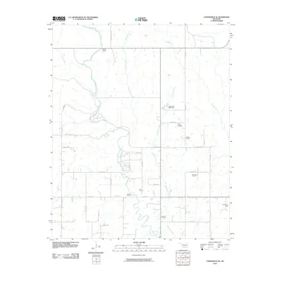
2010 Map of Connerville SE
USGS Topo · Published 2010About this map
The Blue River winds through this rural landscape of Johnston County, defining a region where water and topography have shaped local life for generations. Along the river’s course, distinctive natural features such as Big Falls and Cheadle Falls break the steady flow, while Desperado Spring feeds into the network from the west. The area's social history is deeply rooted in several family and community burial grounds, including Bold Springs Cemetery, Fillmore Cemetery, and Greenwood Cemetery. These sites, alongside others like Wiley Cemetery and Bronaugh Cemetery, suggest a pattern of established homesteads and rural settlements that persist away from major urban centers.
Find a feature on this map
45 named features on this map. Tap any name to fly to it.
Don’t see what you’re looking for? This feature index may not catch every label — zoom into the map to look around manually.
Map Details
Editions of this 2010 Connerville SE Map
This is the sole edition of this map. No revisions or reprints were ever made.
Other maps of this area

1899 · Atoka
USGS Topo · 1:125,000

1900 · Atoka
USGS Topo · 1:125,000

1901 · Tishomingo
USGS Topo · 1:125,000

1957 · Ardmore
USGS Topo · 1:250,000

1963 · Ardmore
USGS Topo · 1:250,000

1967 · Connerville SE
USGS Topo · 1:24,000

1967 · Connerville
USGS Topo · 1:24,000
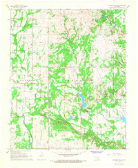
1967 · Connerville NE
USGS Topo · 1:24,000

1967 · Tishomingo
USGS Topo · 1:24,000
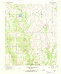
1967 · Reagan
USGS Topo · 1:24,000