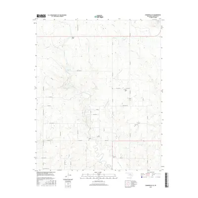
2016 Map of Connerville SE
USGS Topo · Published 2016About this map
Blue River carves a winding path through this portion of Johnston County, defining a landscape of rocky falls and creekside settlements. The waterway is punctuated by features like Big Falls and Cheadle Falls, which likely influenced the historical placement of fords and early crossings. The area is characterized by a dense network of local roads such as Bold Springs Rd and Deadman Spring Rd, which connect several family and community burial grounds. For genealogists, the map is a critical record of local heritage, documenting the Fillmore Cem, Bold Springs Cem, and Greenwood Cem. These sites, alongside landmarks like the Belton Bridge, offer a window into the rural life and community structure of the region in the mid-2010s, showing how the natural drainage of Sandy Cr and Little Sandy Cr shaped development patterns.
Find a feature on this map
47 named features on this map. Tap any name to fly to it.
Don’t see what you’re looking for? This feature index may not catch every label — zoom into the map to look around manually.
Map Details
Editions of this 2016 Connerville SE Map
This is the sole edition of this map. No revisions or reprints were ever made.
Other maps of this area

1899 · Atoka
USGS Topo · 1:125,000

1900 · Atoka
USGS Topo · 1:125,000

1901 · Tishomingo
USGS Topo · 1:125,000

1957 · Ardmore
USGS Topo · 1:250,000

1963 · Ardmore
USGS Topo · 1:250,000

1967 · Connerville SE
USGS Topo · 1:24,000

1967 · Connerville
USGS Topo · 1:24,000
1967 · Connerville NE
USGS Topo · 1:24,000

1967 · Tishomingo
USGS Topo · 1:24,000
1967 · Reagan
USGS Topo · 1:24,000