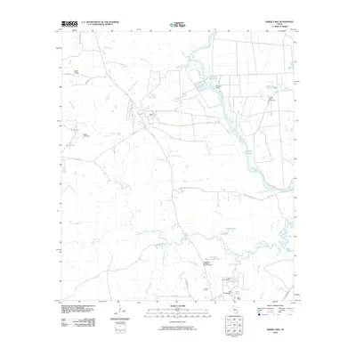
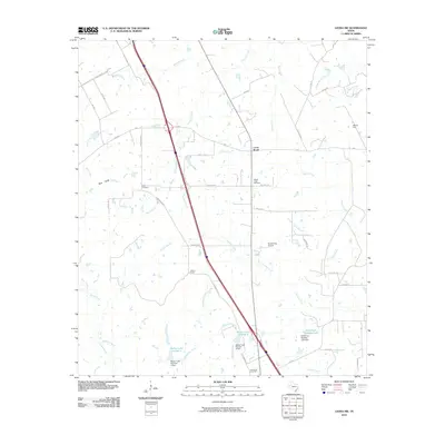
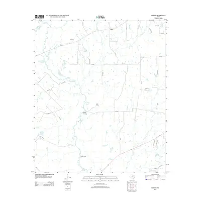
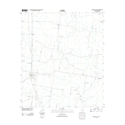
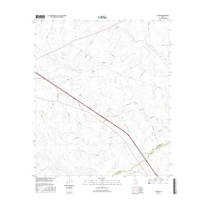
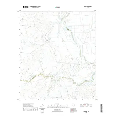
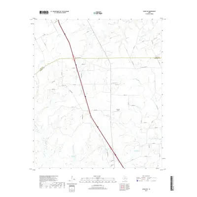
1962 Map of Connor
USGS Topo · Published 1964About this map
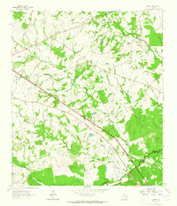
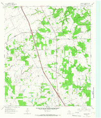
The boundary line between Madison Co and Walker Co cuts through the southeastern portion of this landscape, where the terrain is defined by a dense network of tributaries feeding into Bedias Creek. Small rural communities and family landmarks anchor the area, including the settlement of Jenkins and the quiet crossroads at Connor. Significant for local genealogists, the map identifies several burial sites such as Larrison Cem, Burrows Cem, and Farris Cem, alongside community centers like the South Bethel Sch and Little Rock Ch. Industrial development is evident through a long Pipeline corridor and a Pumping Station situated near the headwaters of Pooles Creek. The presence of several private water bodies like Springboard Lake and Joe Brown Lake suggests a landscape transitioning toward recreation and local agriculture during the early 1960s.
Find a feature on this map
35 named features on this map. Tap any name to fly to it.
Don’t see what you’re looking for? This feature index may not catch every label — zoom into the map to look around manually.
Map Details
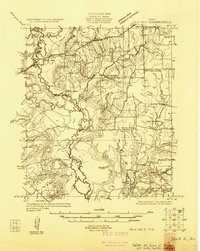
Editions of this 1962 Connor Map
This is the sole edition of this map. No revisions or reprints were ever made.
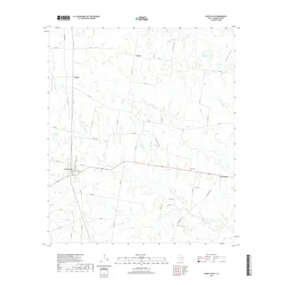
Historical Maps of Jenkins Through Time
43 maps found
1925 Iola No 2
Madison County, TX
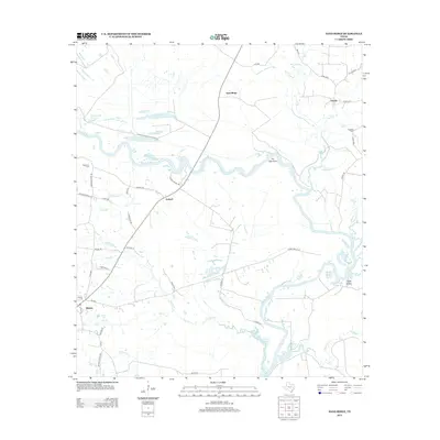
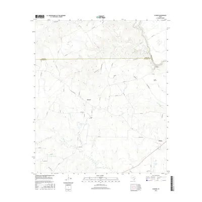
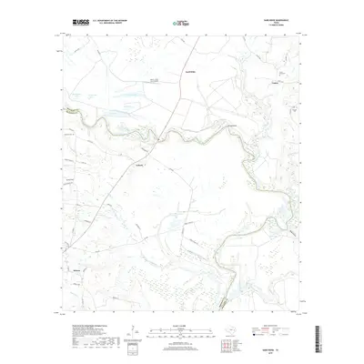
1962 Baker Lake
Madison County, TX
1962 Connor
Madison County, TX
1964 Elwood
Madison County, TX
1964 Leona SW
Madison County, TX
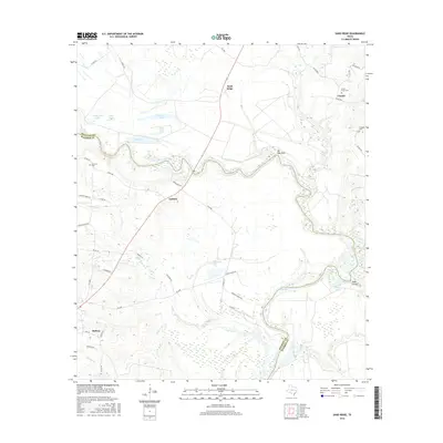
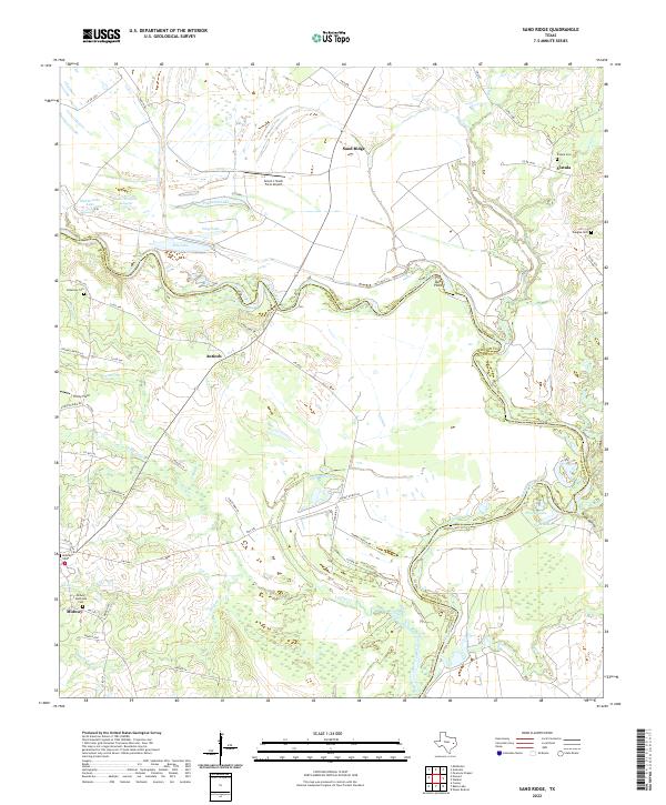
1964 Sand Ridge
Madison County, TX
1965 Canary
Madison County, TX
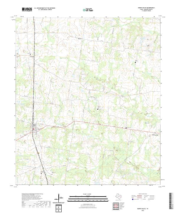
1965 North Zulch
Madison County, TX
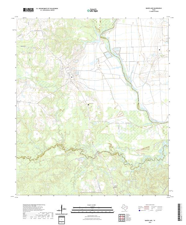
2010 Baker Lake
Madison County, TX
2010 Canary
Madison County, TX
2010 Connor
Madison County, TX
2010 Elwood
Madison County, TX
2010 Leona SW
Madison County, TX
2010 North Zulch
Madison County, TX
2010 Sand Ridge
Madison County, TX
2013 Baker Lake
Madison County, TX
2013 Canary
Madison County, TX
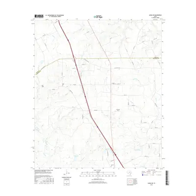
2013 Connor
Madison County, TX
2013 Elwood
Madison County, TX
2013 Leona SW
Madison County, TX
2013 North Zulch
Madison County, TX
2013 Sand Ridge
Madison County, TX
2016 Baker Lake
Madison County, TX
2016 Canary
Madison County, TX
2016 Connor
Madison County, TX
2016 Elwood
Madison County, TX
2016 Leona SW
Madison County, TX

2016 North Zulch
Madison County, TX
2016 Sand Ridge
Madison County, TX
2019 Baker Lake
Madison County, TX
2019 Canary
Madison County, TX
2019 Connor
Madison County, TX
2019 Elwood
Madison County, TX
2019 Leona SW
Madison County, TX
2019 North Zulch
Madison County, TX
2019 Sand Ridge
Madison County, TX
2022 Baker Lake
Madison County, TX
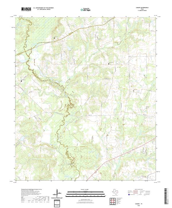
2022 Canary
Madison County, TX
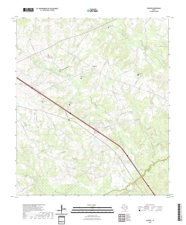
2022 Connor
Madison County, TX
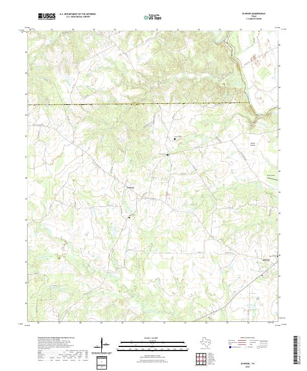
2022 Elwood
Madison County, TX
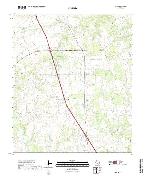
2022 Leona SW
Madison County, TX
2022 North Zulch
Madison County, TX
2022 Sand Ridge
Madison County, TX