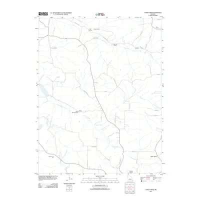
2011 Map of Conns Creek
USGS Topo · Published 2011About this map
Conns Creek and Deane Creek snake through a landscape defined by deep ridges and valleys in this part of Pulaski County. The terrain is marked by numerous named drainages such as Seven Springs Hollow, Lucas Hollow, and Brumley Hollow, which reflect the localized topography of the Ozark Plateau. Settlement is dispersed, with Saint John appearing in the southeast and the Richland Municipal Airport serving as a modern landmark on the southern edge of the quadrangle.
Find a feature on this map
44 named features on this map. Tap any name to fly to it.
Don’t see what you’re looking for? This feature index may not catch every label — zoom into the map to look around manually.
Map Details
Editions of this 2011 Conns Creek Map
This is the sole edition of this map. No revisions or reprints were ever made.
Other maps of this area

1888 · Versailles
USGS Topo · 1:125,000

1888 · Tuscumbia
USGS Topo · 1:125,000

1893 · Versailles
USGS Topo · 1:125,000

1894 · Tuscumbia
USGS Topo · 1:125,000

1932 · Versailles No 4
USGS Topo · 1:48,000

1933 · Stoutland
USGS Topo · 1:62,500

1933 · Iberia
USGS Topo · 1:62,500

1934 · Toronto
USGS Topo · 1:24,000

1937 · Iberia
USGS Topo · 1:62,500

1938 · Stoutland
USGS Topo · 1:62,500