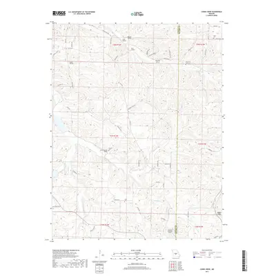
2017 Map of Conns Creek
USGS Topo · Published 2017About this map
Saint John anchors the southeastern corner of this map, positioned near the border between Camden and Pulaski counties. The landscape is defined by the complex drainage of Conns Cr and Deane Cr, which carve a series of named valleys including Julia Hollow, Sock Hollow, and Seven Springs Hollow. These topographical features often dictate the local road network, with routes like State Rd A and Mountview Rd following the ridges and creek beds.
Find a feature on this map
59 named features on this map. Tap any name to fly to it.
Don’t see what you’re looking for? This feature index may not catch every label — zoom into the map to look around manually.
Map Details
Editions of this 2017 Conns Creek Map
This is the sole edition of this map. No revisions or reprints were ever made.
Other maps of this area

1888 · Versailles
USGS Topo · 1:125,000

1888 · Tuscumbia
USGS Topo · 1:125,000

1893 · Versailles
USGS Topo · 1:125,000

1894 · Tuscumbia
USGS Topo · 1:125,000

1932 · Versailles No 4
USGS Topo · 1:48,000

1933 · Stoutland
USGS Topo · 1:62,500

1933 · Iberia
USGS Topo · 1:62,500

1934 · Toronto
USGS Topo · 1:24,000

1937 · Iberia
USGS Topo · 1:62,500

1938 · Stoutland
USGS Topo · 1:62,500