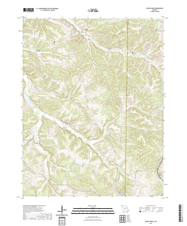
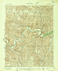
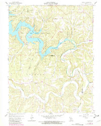
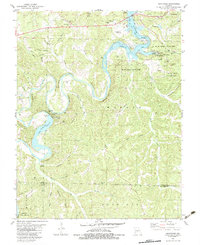
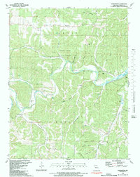
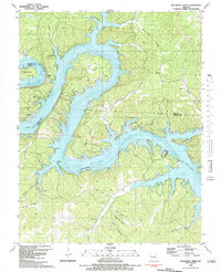
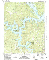
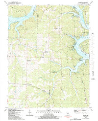
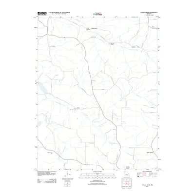
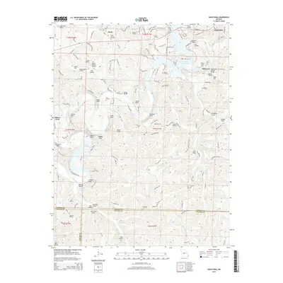
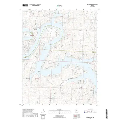
2021 Map of Conns Creek
USGS Topo · Published 2021About this map
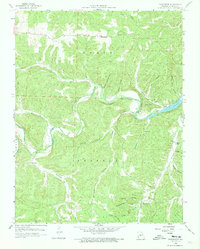
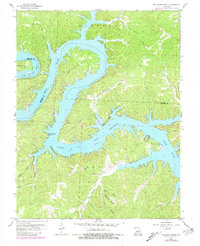
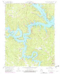
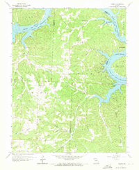
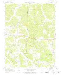
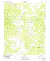
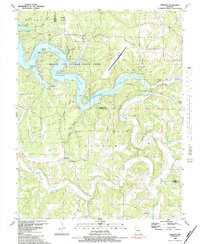
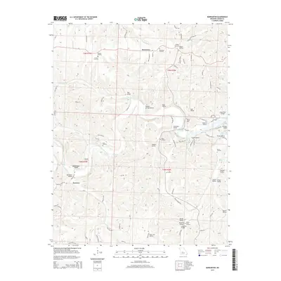
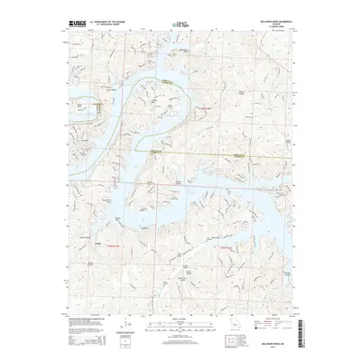
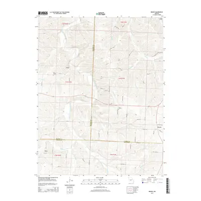
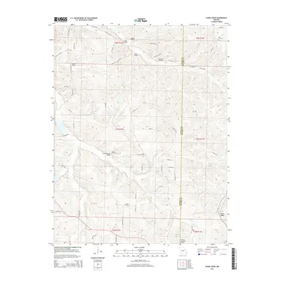
Saint John anchors the southeastern corner of this Ozark landscape, where the border between Camden County and Pulaski County follows the rugged terrain. The topography is defined by numerous drainage systems, including Conns Creek and Deberry Creek, which have carved out distinct geographic features such as Brumley Hollow and Seven Springs Hollow. For genealogists and local historians, several family-named burial grounds provide critical points of reference across the countryside, including Miles Cemetery, Thornsberry Cemetery, Chalfant Cemetery, and Lewis Cemetery. Transport in the area is a mix of traditional rural routes like Elm Grove Church Road and State Road A, contrasted with the presence of the Richland Municipal Airport in the south. The complex network of creeks like Wet Glaize Creek and Murphy Creek illustrates the deep-cut hollows that characterize this part of central Missouri.
Find a feature on this map
53 named features on this map. Tap any name to fly to it.
Don’t see what you’re looking for? This feature index may not catch every label — zoom into the map to look around manually.
Map Details
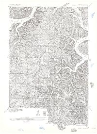
Editions of this 2021 Conns Creek Map
This is the sole edition of this map. No revisions or reprints were ever made.
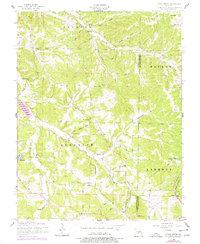
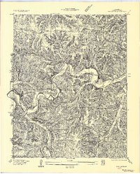
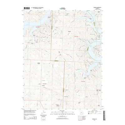
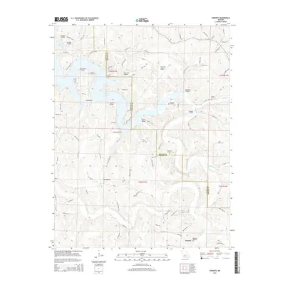
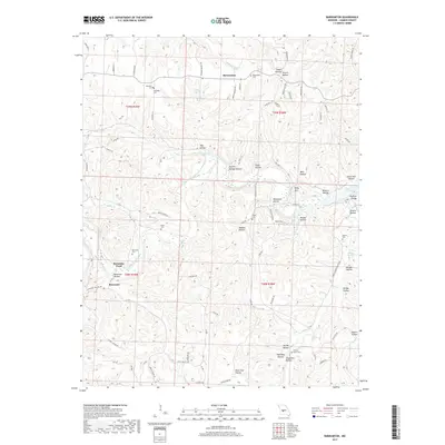
Historical Maps of Saint John Through Time
60 maps found

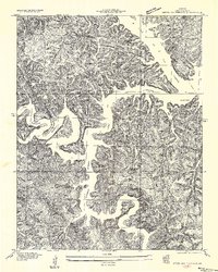
1932 Versailles No 4
Camden County, MO
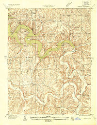
1934 Green Bay Terrace
Camden County, MO
1934 Irontown Ferry
Camden County, MO

1934 Purvis
Camden County, MO
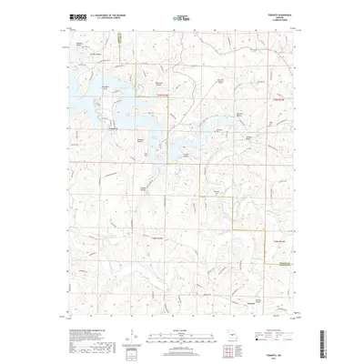
1934 Toronto
Camden County, MO
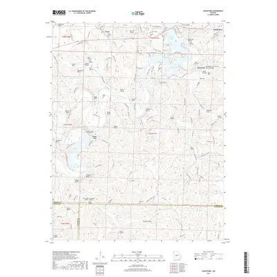
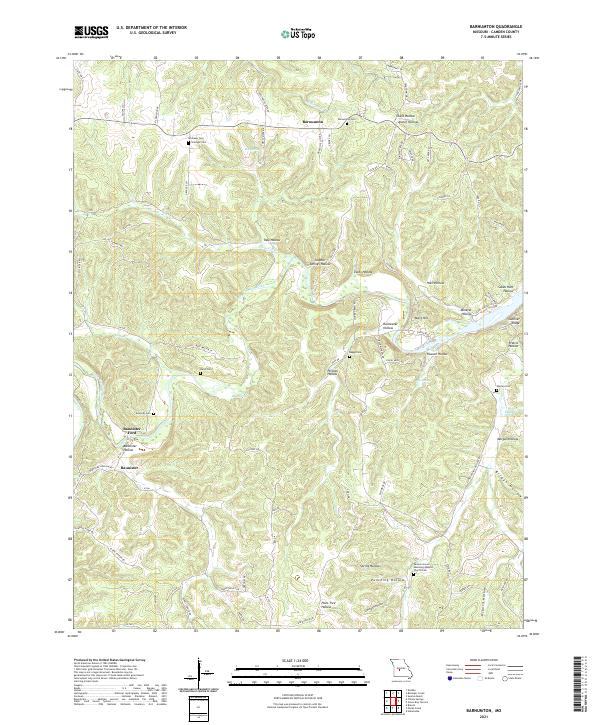
1935 Barnumton
Camden County, MO
1935 Knobby Creek
Camden County, MO
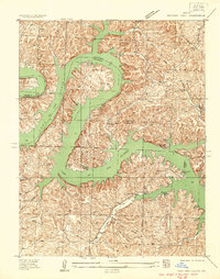
1954 Conns Creek
Camden County, MO
1957 Barnumton
Camden County, MO
1959 Barnumton
Camden County, MO
1959 Bollinger Creek
Camden County, MO
1959 Green Bay Terrace
Camden County, MO
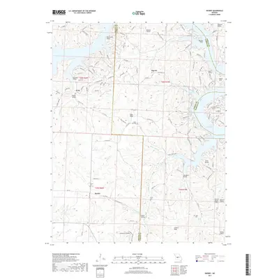
1959 Knobby
Camden County, MO
1959 Toronto
Camden County, MO
1960 Branch
Camden County, MO
1975 Decaturville
Camden County, MO
1982 Hahatonka
Camden County, MO
1983 Barnumton
Camden County, MO
1983 Bollinger Creek
Camden County, MO
1983 Green Bay Terrace
Camden County, MO
1983 Knobby
Camden County, MO
1983 Toronto
Camden County, MO
2011 Barnumton
Camden County, MO
2011 Bollinger Creek
Camden County, MO
2011 Branch
Camden County, MO
2011 Conns Creek
Camden County, MO

2011 Decaturville
Camden County, MO

2011 Green Bay Terrace
Camden County, MO
2011 Hahatonka
Camden County, MO
2011 Knobby
Camden County, MO
2011 Toronto
Camden County, MO
2015 Barnumton
Camden County, MO
2015 Bollinger Creek
Camden County, MO
2015 Branch
Camden County, MO
2015 Conns Creek
Camden County, MO

2015 Decaturville
Camden County, MO

2015 Green Bay Terrace
Camden County, MO
2015 Hahatonka
Camden County, MO
2015 Knobby
Camden County, MO
2015 Toronto
Camden County, MO
2017 Barnumton
Camden County, MO
2017 Bollinger Creek
Camden County, MO
2017 Branch
Camden County, MO
2017 Conns Creek
Camden County, MO
2017 Decaturville
Camden County, MO

2017 Green Bay Terrace
Camden County, MO
2017 Hahatonka
Camden County, MO
2017 Knobby
Camden County, MO
2017 Toronto
Camden County, MO
2021 Barnumton
Camden County, MO
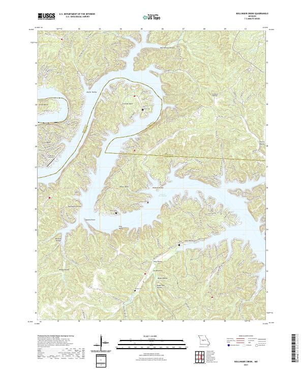
2021 Bollinger Creek
Camden County, MO
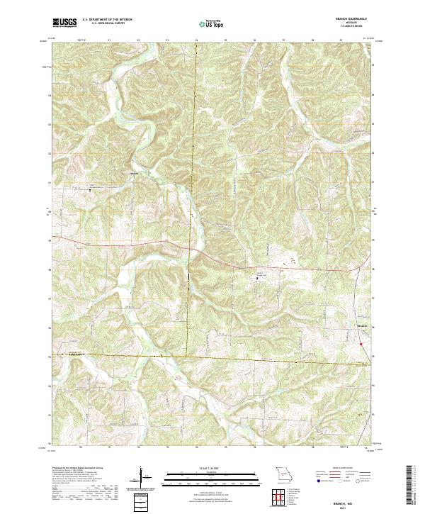
2021 Branch
Camden County, MO
2021 Conns Creek
Camden County, MO
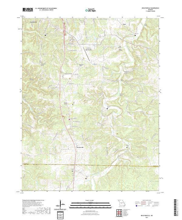
2021 Decaturville
Camden County, MO

2021 Green Bay Terrace
Camden County, MO
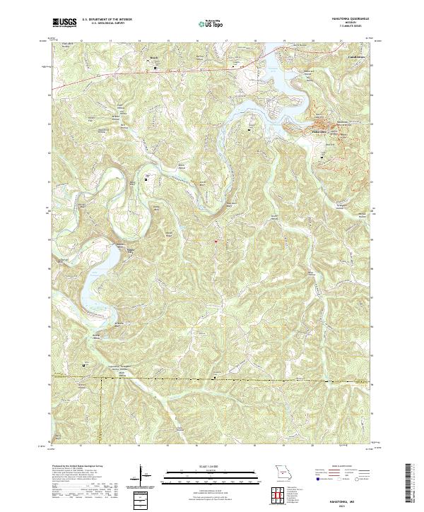
2021 Hahatonka
Camden County, MO
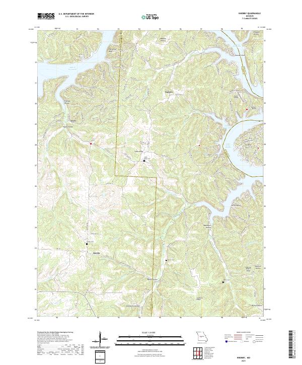
2021 Knobby
Camden County, MO
2021 Toronto
Camden County, MO

2023 Green Bay Terrace
Camden County, MO
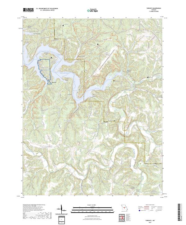
2023 Toronto
Camden County, MO