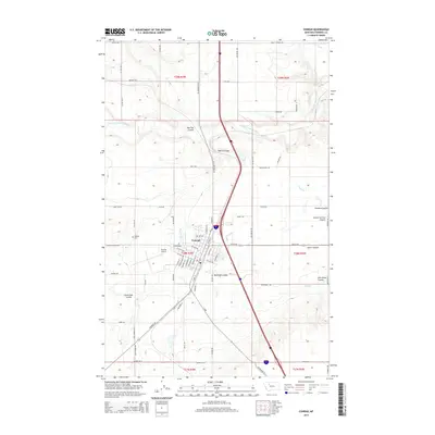
2014 Map of Conrad
USGS Topo · Published 2014About this map
Conrad anchors this portion of Pondera County, positioned where the High Plains are etched by a complex network of coulees and irrigation works. The landscape is defined by the Dry Fork Marias River and several named ravines, including Welch Coulee, Big Flat Coulee, and Pondera Coulee. The presence of the G Canal, P-6 Canal, and p Canal reflects the critical importance of water management to the local agricultural economy in this arid region. The town itself shows a clear grid transition, with streets like S Michigan St and S Illinois St extending from the core toward the Conrad Airport. Local history is anchored at the Hillside Cemetery and along rural routes like Dusell School Rd, while the path of US Highway 91 N and the interstate corridor mark the primary north-south transport artery through the heart of the township.
Find a feature on this map
80 named features on this map. Tap any name to fly to it.
Don’t see what you’re looking for? This feature index may not catch every label — zoom into the map to look around manually.
Map Details
Editions of this 2014 Conrad Map
This is the sole edition of this map. No revisions or reprints were ever made.
Other maps of this area

1920 · Dupuyer
USGS Topo · 1:125,000

1920 · Conrad
USGS Topo · 1:125,000

1934 · Valier
USGS Topo · 1:62,500

1937 · Valier
USGS Topo · 1:62,500

1938 · Gallup City
USGS Topo · 1:62,500

1942 · Gallup City
USGS Topo · 1:62,500

1954 · Shelby
USGS Topo · 1:250,000

1958 · Shelby
USGS Topo · 1:250,000

1960 · Cut Bank
USGS Topo · 1:250,000

1963 · Cut Bank
USGS Topo · 1:250,000