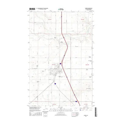
2017 Map of Conrad
USGS Topo · Published 2017About this map
Conrad serves as the focal point of this Pondera County landscape, situated amidst an intricate network of drainage coulees and irrigation infrastructure. The town's grid is well-defined by thoroughfares such as Sunset Blvd and S Main St, while the nearby Conrad Airport and Hillside Cem mark the outskirts of the settlement. The surrounding terrain is characterized by deep erosional features like Big Flat Coulee and Welch Coulee, which highlight the natural drainage patterns leading toward the Dry Fork Marias River.
Find a feature on this map
64 named features on this map. Tap any name to fly to it.
Don’t see what you’re looking for? This feature index may not catch every label — zoom into the map to look around manually.
Map Details
Editions of this 2017 Conrad Map
This is the sole edition of this map. No revisions or reprints were ever made.
Other maps of this area

1920 · Dupuyer
USGS Topo · 1:125,000

1920 · Conrad
USGS Topo · 1:125,000

1934 · Valier
USGS Topo · 1:62,500

1937 · Valier
USGS Topo · 1:62,500

1938 · Gallup City
USGS Topo · 1:62,500

1942 · Gallup City
USGS Topo · 1:62,500

1954 · Shelby
USGS Topo · 1:250,000

1958 · Shelby
USGS Topo · 1:250,000

1960 · Cut Bank
USGS Topo · 1:250,000

1963 · Cut Bank
USGS Topo · 1:250,000