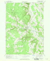
1966 Map of Constableville
USGS Topo · Published 1970About this map
Constableville and the surrounding Lewis County uplands are defined by a network of family-named roads and established parish centers in this mid-1960s study. The village core is clustered near the confluence of Sugar River and several unnamed tributaries, serving as a hub for the outlying settlements of Mohawk Hill and Collinsville. The landscape transitions from the developed valley floors to the protected woodlands of the High Market State Forest Preserve and State Forest Preserve, illustrating the balance between late-20th-century agriculture and conservation. Genealogists can locate several distinct burial grounds, including St Marys Cems, Rural Cem, and St Michaels Cem, which are often situated near landmarks like St Pauls Ch. The presence of a Quarry near Potters Corners and a Gravel Pit to the west points to the local extraction industries that supported the area's infrastructure.
Find a feature on this map
59 named features on this map. Tap any name to fly to it.
Don’t see what you’re looking for? This feature index may not catch every label — zoom into the map to look around manually.
Map Details
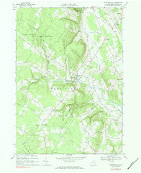
Editions of this 1966 Constableville Map
2 editions found
Other maps of this area

1904 · Boonville
USGS Topo · 1:62,500

1905 · Port Leyden
USGS Topo · 1:62,500

1905 · Taberg
USGS Topo · 1:62,500

1906 · Highmarket
USGS Topo · 1:62,500

1907 · Port Leyden
USGS Topo · 1:62,500

1940 · Port Leyden
USGS Topo · 1:62,500

1943 · High Market
USGS Topo · 1:24,000
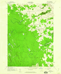
1943 · Page
USGS Topo · 1:24,000
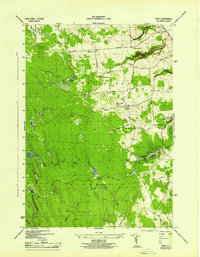
1944 · Page
USGS Topo · 1:31,680

1944 · Point Rock
USGS Topo · 1:31,680