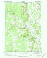
1966 Map of Constableville
USGS Topo · Published 1984About this map
Constableville and the high forest preserves of Lewis County dominate this mid-century landscape. The village of Constableville serves as a central hub, situated near the intersection of Sugar River and the North Branch Fish Creek. To the west, the massive High Market State Forest Preserve covers the high ground of Tough and Gomer Hill, reflecting the region's managed timber and conservation history. The map records a dense network of family-named roads like Thayer Hill Road, Kraeger Road, and Croniezer Road, indicating a well-established rural community built on upland farming and forestry. Religious and community life is anchored by landmarks such as St Pauls Ch and St Johns Ch, with numerous cemeteries like St Marys Cems and St Michaels Cem providing critical data points for local genealogy and land-use studies.
Find a feature on this map
63 named features on this map. Tap any name to fly to it.
Don’t see what you’re looking for? This feature index may not catch every label — zoom into the map to look around manually.
Map Details
Editions of this 1966 Constableville Map
2 editions found
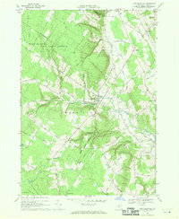
Other maps of this area

1904 · Boonville
USGS Topo · 1:62,500

1905 · Port Leyden
USGS Topo · 1:62,500

1905 · Taberg
USGS Topo · 1:62,500

1906 · Highmarket
USGS Topo · 1:62,500

1907 · Port Leyden
USGS Topo · 1:62,500

1940 · Port Leyden
USGS Topo · 1:62,500

1943 · High Market
USGS Topo · 1:24,000
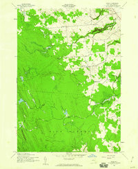
1943 · Page
USGS Topo · 1:24,000
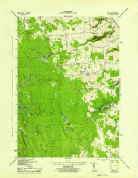
1944 · Page
USGS Topo · 1:31,680

1944 · Point Rock
USGS Topo · 1:31,680