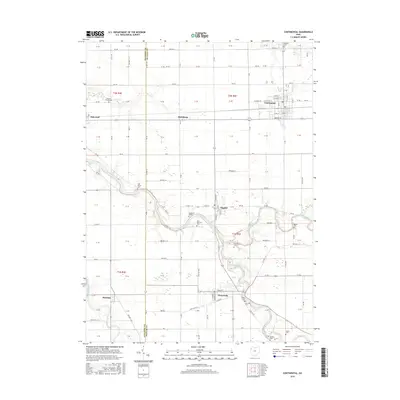
2016 Map of Continental
USGS Topo · Published 2016About this map
The confluence of the Auglaize River and the Blanchard River defines the drainage of this Northwest Ohio landscape, which sits along the border of Paulding and Putnam counties. Centered on the village of Continental, the area shows a dense grid of rural roads and small townships connected by historical settlements like Dupont and Cloverdale. The map is particularly useful for genealogists, as it preserves the locations of numerous family and community burial grounds, including Monroe Cem, Franconia Cem, and Dickey Cem. In the west, Mandale and Oakwood sit near the meandering course of the Little Auglaize River, while the northern reaches are dominated by the steady flow of Prairie Creek. The section lines and township ranges provide a clear view of the structured land divisions that have characterized this agricultural region since its early settlement.
Find a feature on this map
73 named features on this map. Tap any name to fly to it.
Don’t see what you’re looking for? This feature index may not catch every label — zoom into the map to look around manually.
Map Details
Editions of this 2016 Continental Map
This is the sole edition of this map. No revisions or reprints were ever made.
Other maps of this area

1906 · Columbus Grove
USGS Topo · 1:62,500

1908 · Columbus Grove
USGS Topo · 1:62,500

1908 · Ottawa
USGS Topo · 1:62,500

1909 · Continental
USGS Topo · 1:62,500

1911 · Delphos
USGS Topo · 1:62,500

1944 · Delphos
USGS Topo · 1:62,500

1953 · Fort Wayne
USGS Topo · 1:250,000

1953 · Muncie
USGS Topo · 1:250,000

1956 · Muncie
USGS Topo · 1:250,000

1956 · Fort Wayne
USGS Topo · 1:250,000