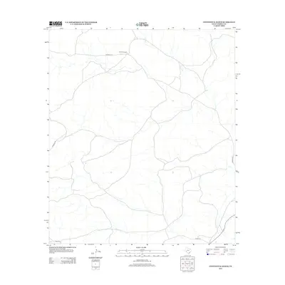
2012 Map of Continental Ranch
USGS Topo · Published 2012About this map
Continental Ranch and Riggs Ranch anchor this West Texas landscape in Terrell County, characterized by a complex network of ephemeral drainages and intermittent watercourses. The most prominent hydrological feature is McKay Cr, which winds through the eastern and central portions of the quadrangle. The road network reflects the practicalities of ranching and remote navigation, with Running W Rd and Hardgrave Rd providing critical access through the terrain. To the south and east, Stavley Rd and Pumpville Rd indicate connections toward larger transport corridors. This 2012 survey illustrates the enduring patterns of large-scale land holdings in this part of the Trans-Pecos, where named ranch sites remain the primary markers of human settlement and geographic reference.
Find a feature on this map
7 named features on this map. Tap any name to fly to it.
Don’t see what you’re looking for? This feature index may not catch every label — zoom into the map to look around manually.
Map Details
Editions of this 2012 Continental Ranch Map
This is the sole edition of this map. No revisions or reprints were ever made.
Other maps of this area

1928 · Sanderson
USGS Topo · 1:125,000

1954 · Fort Stockton
USGS Topo · 1:250,000

1954 · Sonora
USGS Topo · 1:250,000

1958 · Sonora
USGS Topo · 1:250,000

1958 · Fort Stockton
USGS Topo · 1:250,000

1969 · Circle Dot Ranch
USGS Topo · 1:24,000

1969 · Continental Ranch
USGS Topo · 1:24,000

1969 · Circle Dot Ranch NE
USGS Topo · 1:24,000

1969 · Dryden NE
USGS Topo · 1:24,000

1969 · Dryden NW
USGS Topo · 1:24,000