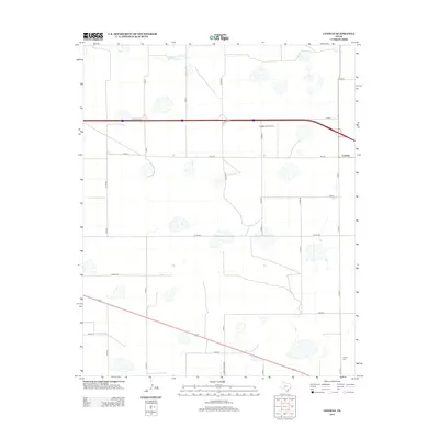
2012 Map of Conway
USGS Topo · Published 2012About this map
Conway anchors the northeastern corner of this Panhandle landscape, where the High Plains are partitioned by a rigorous grid of section roads. The terrain is characterized by numerous ephemeral lake beds and the northern drainage of McClellan Cr, reflecting the high-desert hydrology of Carson County. Transportation dominates the modern local geography, with the Frontage Rd corridor running east-west and Ranch Road 3330 cutting diagonally through the southern plains. Small-scale aviation is represented by Eagles Aerodrome, situated just west of the main settlement. Further south, the Claude Cem provides a point of genealogical interest near the junction of Co Rd-14 and the southern survey boundary, marking a quiet corner of the county's history.
Find a feature on this map
28 named features on this map. Tap any name to fly to it.
Don’t see what you’re looking for? This feature index may not catch every label — zoom into the map to look around manually.
Map Details
Editions of this 2012 Conway Map
This is the sole edition of this map. No revisions or reprints were ever made.
Other maps of this area

1953 · Sevenmile Basin
USGS Topo · 1:24,000

1954 · Amarillo
USGS Topo · 1:250,000

1956 · Washburn
USGS Topo · 1:24,000

1958 · Amarillo
USGS Topo · 1:250,000

1960 · Fairview
USGS Topo · 1:24,000

1960 · Claude
USGS Topo · 1:62,500

1966 · Panhandle West
USGS Topo · 1:24,000

1966 · Panhandle East
USGS Topo · 1:24,000
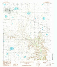
1983 · Claude
USGS Topo · 1:24,000
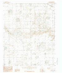
1983 · Claude SW
USGS Topo · 1:24,000