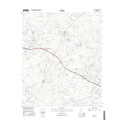
2017 Map of Conyers
USGS Topo · Published 2017About this map
The Yellow River cuts a prominent path through this 2017 study of the corridor between Lithonia and Conyers. The landscape is defined by its notable monadnocks and rocky outcrops, including Arabia Mtn, Pine Mtn, and Elijah Mtn, which rise above the surrounding terrain. This region shows a complex network of suburban development intertwined with numerous private lakes and reservoirs such as Lake Capri, Mann Lake, and Davidson Lakes. Genealogists and local historians can locate established landmarks like the Chupp Cem and Eastview Cem, as well as the Luther Rice Coll and Seminary near the DeKalb and Rockdale county line. The map illustrates how transportation infrastructure, particularly the Interstate 20 corridor, has shaped the growth of settlements like Collinsville and the expansion of residential communities around older water features like Johnson Lake and Cement Lake.
Find a feature on this map
210 named features on this map. Tap any name to fly to it.
Don’t see what you’re looking for? This feature index may not catch every label — zoom into the map to look around manually.
Map Details
Editions of this 2017 Conyers Map
This is the sole edition of this map. No revisions or reprints were ever made.
Other maps of this area

1888 · Atlanta
USGS Topo · 1:125,000

1890 · Atlanta
USGS Topo · 1:125,000

1892 · Atlanta
USGS Topo · 1:125,000

1895 · Atlanta
USGS Topo · 1:125,000

1896 · Monroe
USGS Topo · 1:125,000

1953 · Atlanta
USGS Topo · 1:250,000

1953 · Athens
USGS Topo · 1:250,000

1956 · Stone Mountain
USGS Topo · 1:24,000

1956 · Snellville
USGS Topo · 1:24,000

1956 · Conyers
USGS Topo · 1:24,000