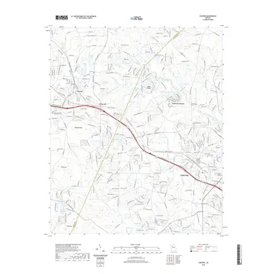
2020 Map of Conyers
USGS Topo · Published 2020About this map
The Yellow River cuts a prominent path through this 2020 topographic landscape, which documents the modern boundary between DeKalb and Rockdale counties. Historically rooted settlements like Lithonia and Conyers anchor the sheet, while more recent development is evident in Stonecrest and Lakeview Estates. The map records significant local landmarks, from the Rockdale County Courthouse to the campus of Luther Rice College and Seminary.
Find a feature on this map
126 named features on this map. Tap any name to fly to it.
Don’t see what you’re looking for? This feature index may not catch every label — zoom into the map to look around manually.
Map Details
Editions of this 2020 Conyers Map
This is the sole edition of this map. No revisions or reprints were ever made.
Other maps of this area

1888 · Atlanta
USGS Topo · 1:125,000

1890 · Atlanta
USGS Topo · 1:125,000

1892 · Atlanta
USGS Topo · 1:125,000

1895 · Atlanta
USGS Topo · 1:125,000

1896 · Monroe
USGS Topo · 1:125,000

1953 · Atlanta
USGS Topo · 1:250,000

1953 · Athens
USGS Topo · 1:250,000

1956 · Stone Mountain
USGS Topo · 1:24,000

1956 · Snellville
USGS Topo · 1:24,000

1956 · Conyers
USGS Topo · 1:24,000