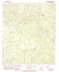
1983 Map of Coochie Brake
USGS Topo · Published 1983About this map
Kisatchie National Forest defines the character of this Winn Parish landscape, where the low-lying wetlands of Coochie Brake are fed by the waters of Nantachie Creek and Robins Creek. The terrain transitions from these water-logged basins to high ground marked by Black Mountain and various ridges bisected by a network of unimproved roads and an old Railroad Grade.
Find a feature on this map
28 named features on this map. Tap any name to fly to it.
Don’t see what you’re looking for? This feature index may not catch every label — zoom into the map to look around manually.
Map Details
Editions of this 1983 Coochie Brake Map
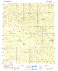
2 editions found
Other maps of this area

1932 · Colfax NW
USGS Topo · 1:31,680

1935 · Verda
USGS Topo · 1:31,680

1936 · Colfax
USGS Topo · 1:62,500

1937 · Montgomery
USGS Topo · 1:62,500

1942 · Montgomery
USGS Topo · 1:62,500

1945 · Montgomery
USGS Topo · 1:62,500

1949 · Calvin SE
USGS Topo · 1:31,680

1949 · Calvin NE
USGS Topo · 1:31,680

1949 · Calvin NW
USGS Topo · 1:31,680

1949 · Calvin SW
USGS Topo · 1:31,680