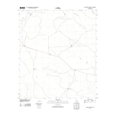
2010 Map of Cook Creek North
USGS Topo · Published 2010About this map
Thurston serves as the focal point of this arid West Texas landscape, where the geography is defined by a network of drainage systems cutting through the terrain. The map details a ranching economy established around intermittent water sources like Cedar Creek and Cook Creek, with family-named operations such as Turner Ranch, Rock House Ranch, and Hutcherson Ranch anchoring the sparsely populated region. The infrastructure is primarily composed of local thoroughfares like Rock House Rd and Cedar Rd, which navigate the high ground between significant geological formations. Deep incisions in the earth, including Thurston Canyon, Meyers Canyon, and Prairie Canyon, illustrate the rugged drainage patterns that dictate movement across the plains of Terrell County.
Find a feature on this map
19 named features on this map. Tap any name to fly to it.
Don’t see what you’re looking for? This feature index may not catch every label — zoom into the map to look around manually.
Map Details
Editions of this 2010 Cook Creek North Map
This is the sole edition of this map. No revisions or reprints were ever made.
Other maps of this area

1918 · Dryden Crossing
USGS Topo · 1:62,500

1928 · Sanderson
USGS Topo · 1:125,000

1943 · Malvado
USGS Topo · 1:62,500

1944 · Malvado
USGS Topo · 1:62,500

1954 · Fort Stockton
USGS Topo · 1:250,000

1954 · Sonora
USGS Topo · 1:250,000

1958 · Sonora
USGS Topo · 1:250,000

1958 · Fort Stockton
USGS Topo · 1:250,000

1958 · Del Rio
USGS Topo · 1:250,000

1959 · Emory Peak
USGS Topo · 1:250,000