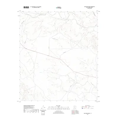
2019 Map of Cook Creek North
USGS Topo · Published 2019About this map
Cedars Springs provides a rare point of named interest in this arid stretch of Terrell County, where the landscape is defined by the ephemeral drainage of Cedar Creek. This 2019 survey documents the modern layout of the Trans-Pecos region, showing how the natural hydrology dictates the passage of roads and ranching boundaries. To the north, Prairie Cr cuts through the desert terrain, marking one of the few named watercourses in a territory characterized by significant elevation changes and deep canyons. The map tracks the sparse infrastructure that supports the region, illustrating how life in West Texas remains centered around these isolated water sources and long-distance transit corridors.
Find a feature on this map
3 named features on this map. Tap any name to fly to it.
Don’t see what you’re looking for? This feature index may not catch every label — zoom into the map to look around manually.
Map Details
Editions of this 2019 Cook Creek North Map
This is the sole edition of this map. No revisions or reprints were ever made.
Other maps of this area

1918 · Dryden Crossing
USGS Topo · 1:62,500

1928 · Sanderson
USGS Topo · 1:125,000

1943 · Malvado
USGS Topo · 1:62,500

1944 · Malvado
USGS Topo · 1:62,500

1954 · Fort Stockton
USGS Topo · 1:250,000

1954 · Sonora
USGS Topo · 1:250,000

1958 · Sonora
USGS Topo · 1:250,000

1958 · Fort Stockton
USGS Topo · 1:250,000

1958 · Del Rio
USGS Topo · 1:250,000

1959 · Emory Peak
USGS Topo · 1:250,000