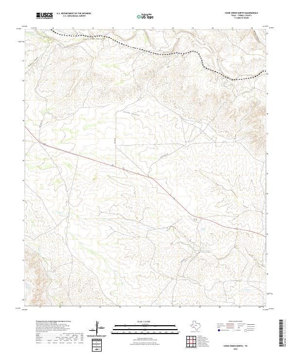
2022 Map of Cook Creek North
USGS Topo · Published 2022About this map
This arid stretch of West Texas landscape, as documented in 2022, is defined by the sharp incisions of seasonal drainage systems moving through Terrell County. Prairie Cr cuts through the northwest corner of the quadrangle, highlighting the natural hydrological patterns that dictate movement and land use in this part of the Trans-Pecos region. The terrain is characterized by steep elevation changes and deep canyons that reflect the persistent erosion of the Edwards Plateau. These geological formations dominate the area, where the vast open range is segmented by isolated roads and rugged natural boundaries. While the surface appears sparse, the detailed topography reveals the complex network of draws and arroyos that funnel infrequent rainwater across the high desert floor.
Find a feature on this map
1 named feature on this map. Tap any name to fly to it.
Don’t see what you’re looking for? This feature index may not catch every label — zoom into the map to look around manually.
Map Details
Editions of this 2022 Cook Creek North Map
This is the sole edition of this map. No revisions or reprints were ever made.
Other maps of this area

1918 · Dryden Crossing
USGS Topo · 1:62,500

1928 · Sanderson
USGS Topo · 1:125,000

1943 · Malvado
USGS Topo · 1:62,500

1944 · Malvado
USGS Topo · 1:62,500

1954 · Fort Stockton
USGS Topo · 1:250,000

1954 · Sonora
USGS Topo · 1:250,000

1958 · Sonora
USGS Topo · 1:250,000

1958 · Fort Stockton
USGS Topo · 1:250,000

1958 · Del Rio
USGS Topo · 1:250,000

1959 · Emory Peak
USGS Topo · 1:250,000