Loading...
Loading map...2021 Map of Cook
USGS Topo · Published 2021About this map
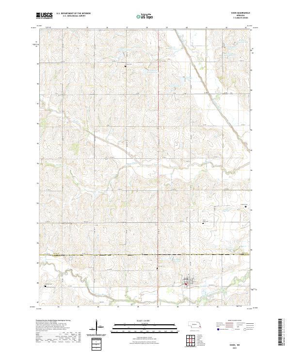
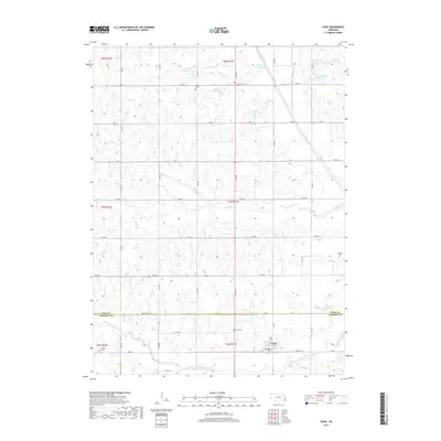
The village of Cook serves as the focal point for this agrarian landscape on the border of Otoe and Johnson counties. Established along the South Fork Little Nemaha River, the settlement is defined by a grid of rural roads and a series of historical burial sites that trace the region's early families, including Cook Cem, Saint Pauls Cem, and Helena Cem. The terrain is deeply carved by water, with Muddy Cr and Little Muddy Cr feeding into the Little Nemaha River system.
Find a feature on this map
46 named features on this map. Tap any name to fly to it.
Don’t see what you’re looking for? This feature index may not catch every label — zoom into the map to look around manually.
Map Details
Date Portrayed2021
Date Published2021
PublisherU.S. Geological Survey
Map TypeTopographic
Scale1:24,000
Physical Dimensions24 x 29 inches
Editions of this 2021 Cook Map
This is the sole edition of this map. No revisions or reprints were ever made.
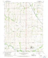
Historical Maps of Cook Through Time
5 maps found
Featured Locations
Source Details
SourceU.S. Geological Survey
CopyrightPublic Domain