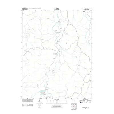
2012 Map of Cook Station
USGS Topo · Published 2012About this map
The Meramec River winds through this section of the Ozarks, carving a landscape defined by deep hollows and prominent ridges like Burley Ridge. Small rural settlements such as Wesco, Goltra, and Cook Station are positioned along the river valley and its tributaries, connected by a network of winding county roads. The area is dense with genealogical markers, including the Gorman Cemetery, Cook Cemetery, and Roberts Cemetery, often situated near family-named landmarks like Craig Hill.
Find a feature on this map
65 named features on this map. Tap any name to fly to it.
Don’t see what you’re looking for? This feature index may not catch every label — zoom into the map to look around manually.
Map Details
Editions of this 2012 Cook Station Map
This is the sole edition of this map. No revisions or reprints were ever made.
Other maps of this area

1928 · Meramec Spring
USGS Topo · 1:62,500

1932 · Steelville
USGS Topo · 1:48,000

1933 · Steelville
USGS Topo · 1:62,500

1937 · Steelville
USGS Topo · 1:62,500

1941 · Salem
USGS Topo · 1:62,500

1941 · Stone Hill
USGS Topo · 1:62,500

1945 · Salem
USGS Topo · 1:62,500

1945 · Stone Hill
USGS Topo · 1:62,500

1949 · Rolla
USGS Topo · 1:250,000

1949 · Meramec Spring
USGS Topo · 1:62,500