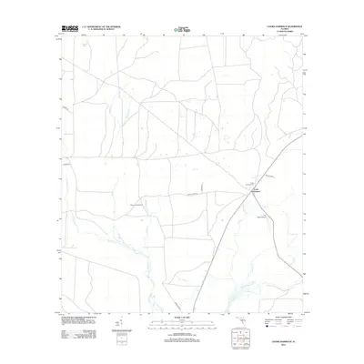
2012 Map of Cooks Hammock
USGS Topo · Published 2012About this map
Cooks Hammock serves as the central settlement point in this Lafayette County landscape, where the flatwoods terrain is defined by a dense network of seasonal drainages and creek systems. To the south, the Steinhatchee River cuts through the region, fed by numerous tributaries including Crossway Br, Owl Cr, and Patterson Br. This 2012 survey illustrates the intersection of rural life and forest management, highlighted by the presence of the Carbur Lookout Tower and the local Cooks Hammock Cem.
Find a feature on this map
21 named features on this map. Tap any name to fly to it.
Don’t see what you’re looking for? This feature index may not catch every label — zoom into the map to look around manually.
Map Details
Editions of this 2012 Cooks Hammock Map
This is the sole edition of this map. No revisions or reprints were ever made.
Other maps of this area

1954 · Mallory Swamp NW
USGS Topo · 1:24,000

1954 · Fenholloway
USGS Topo · 1:24,000

1954 · Day SE
USGS Topo · 1:24,000

1954 · Clara
USGS Topo · 1:24,000

1954 · Salem SW
USGS Topo · 1:24,000

1954 · Mallory Swamp SW
USGS Topo · 1:24,000

1954 · Cooks Hammock
USGS Topo · 1:24,000

1954 · Salem
USGS Topo · 1:24,000

1954 · Gainesville
USGS Topo · 1:250,000

1954 · Valdosta
USGS Topo · 1:250,000