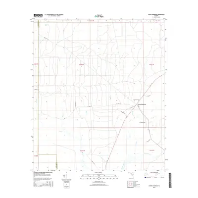
2015 Map of Cooks Hammock
USGS Topo · Published 2015About this map
The Steinhatchee River defines the southern portion of this landscape near the boundary between Taylor and Lafayette counties. The small settlement of Cooks Hammock serves as the primary hub of activity, situated at the junction of S SR 51 and several local timber and ranch roads. The presence of the Cooks Hammock Cem and the nearby R O Ranch Airport suggests a rural community balancing its historical roots with modern land use. The terrain is a network of watercourses and wetlands, including Kettle Cr, Owl Cr, and Reedy Cr, illustrating the low-lying hydrology typical of north-central Florida. Local transportation routes like Chicken Penn Rd and Jones Grade Rd crisscross the area, providing access to the dense woodlands and agricultural tracts that dominate the quadrangle.
Find a feature on this map
25 named features on this map. Tap any name to fly to it.
Don’t see what you’re looking for? This feature index may not catch every label — zoom into the map to look around manually.
Map Details
Editions of this 2015 Cooks Hammock Map
This is the sole edition of this map. No revisions or reprints were ever made.
Other maps of this area

1954 · Mallory Swamp NW
USGS Topo · 1:24,000

1954 · Fenholloway
USGS Topo · 1:24,000

1954 · Day SE
USGS Topo · 1:24,000

1954 · Clara
USGS Topo · 1:24,000

1954 · Salem SW
USGS Topo · 1:24,000

1954 · Mallory Swamp SW
USGS Topo · 1:24,000

1954 · Cooks Hammock
USGS Topo · 1:24,000

1954 · Salem
USGS Topo · 1:24,000

1954 · Gainesville
USGS Topo · 1:250,000

1954 · Valdosta
USGS Topo · 1:250,000