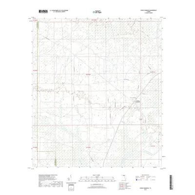
2018 Map of Cooks Hammock
USGS Topo · Published 2018About this map
Cooks Hammock serves as a small anchor in this corner of Lafayette County, defined by a labyrinth of drainages and wetlands. The southern reaches are shaped by the Steinhatchee River and its tributaries, including Patterson Branch and Crossway Br, which cut through the low-lying landscape. The area is characterized by numerous bays and heads, such as Coon Bay and Oaky Heads, indicating the dense, saturated terrain typical of the Gulf coastal plain. A sparse network of roads like Chicken Penn Rd and S Mayo Dr connects the scattered landmarks of the area. Genealogists and local historians can pinpoint the Cooks Hammock Cem and the R O Ranch Airport, while the intricate naming of water features like Willow Slough and Wolf Pond reflects the long history of local navigation and land use in these Florida flatwoods.
Find a feature on this map
47 named features on this map. Tap any name to fly to it.
Don’t see what you’re looking for? This feature index may not catch every label — zoom into the map to look around manually.
Map Details
Editions of this 2018 Cooks Hammock Map
This is the sole edition of this map. No revisions or reprints were ever made.
Other maps of this area

1954 · Mallory Swamp NW
USGS Topo · 1:24,000

1954 · Fenholloway
USGS Topo · 1:24,000

1954 · Day SE
USGS Topo · 1:24,000

1954 · Clara
USGS Topo · 1:24,000

1954 · Salem SW
USGS Topo · 1:24,000

1954 · Mallory Swamp SW
USGS Topo · 1:24,000

1954 · Cooks Hammock
USGS Topo · 1:24,000

1954 · Salem
USGS Topo · 1:24,000

1954 · Gainesville
USGS Topo · 1:250,000

1954 · Valdosta
USGS Topo · 1:250,000