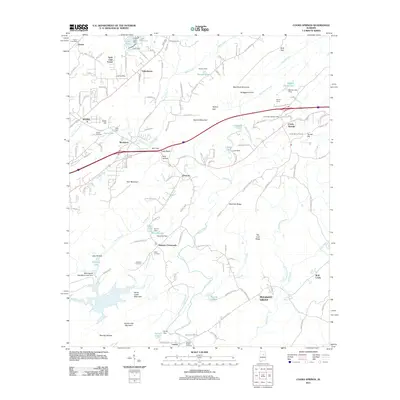
2011 Map of Cooks Springs
USGS Topo · Published 2011About this map
Bald Rock Mountain and Taylors Mountain anchor the central topography of this St. Clair County landscape, which transitions from the growing outskirts of Moody to the rural ridges of the Saint Clair Forest. The map documents a complex water management system through numerous named dams and impoundments, including Halls Dam, Hoover Dam, and the Birmingham Saw Works Lake Dam. These features, alongside Kelly Creek and the Little Cahaba River, illustrate how the terrain has been shaped for industry and recreation.
Find a feature on this map
140 named features on this map. Tap any name to fly to it.
Don’t see what you’re looking for? This feature index may not catch every label — zoom into the map to look around manually.
Map Details
Editions of this 2011 Cooks Springs Map
This is the sole edition of this map. No revisions or reprints were ever made.
Other maps of this area

1889 · Springville
USGS Topo · 1:125,000

1889 · Birmingham
USGS Topo · 1:125,000

1890 · Bessemer
USGS Topo · 1:125,000

1890 · Talladega
USGS Topo · 1:125,000

1892 · Birmingham
USGS Topo · 1:125,000

1892 · Springville
USGS Topo · 1:125,000

1892 · Talladega
USGS Topo · 1:125,000

1892 · Bessemer
USGS Topo · 1:125,000

1895 · Birmingham
USGS Topo · 1:125,000

1905 · Leeds
USGS Topo · 1:62,500