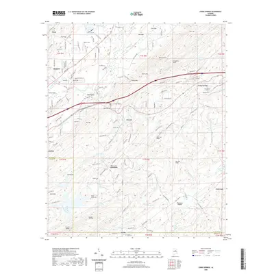
2020 Map of Cooks Springs
USGS Topo · Published 2020About this map
Bald Rock Mtn and Taylors Mtn anchor the ridgelines that divide this portion of St. Clair and Shelby Counties. The landscape is defined by its topographic variety, with the Little Cahaba River flowing through the west and Kelly Creek winding south toward the Coosa River drainage. The area's transportation and industrial roots are evident in the Cooks Springs Tunnel and the corridor connecting the growing communities of Moody and Leeds with the rural crossroads of the interior.
Find a feature on this map
159 named features on this map. Tap any name to fly to it.
Don’t see what you’re looking for? This feature index may not catch every label — zoom into the map to look around manually.
Map Details
Editions of this 2020 Cooks Springs Map
This is the sole edition of this map. No revisions or reprints were ever made.
Other maps of this area

1889 · Springville
USGS Topo · 1:125,000

1889 · Birmingham
USGS Topo · 1:125,000

1890 · Bessemer
USGS Topo · 1:125,000

1890 · Talladega
USGS Topo · 1:125,000

1892 · Birmingham
USGS Topo · 1:125,000

1892 · Springville
USGS Topo · 1:125,000

1892 · Talladega
USGS Topo · 1:125,000

1892 · Bessemer
USGS Topo · 1:125,000

1895 · Birmingham
USGS Topo · 1:125,000

1905 · Leeds
USGS Topo · 1:62,500